Navigate Your Way To A New Island Treasure

Antique Maps & More office with maps on the wall.

About Store

After sailing their 40-foot sloop "Soothsayre" from the Chesapeake Bay throughout the Bahamas for two years, Wendy Wilmot and her husband Andy Sayre navigated their course to Bald Head Island. In July of 1995, they pulled into their slip and put down roots calling Bald Head homeport for the first time since Andy's initial purchase in 1984.

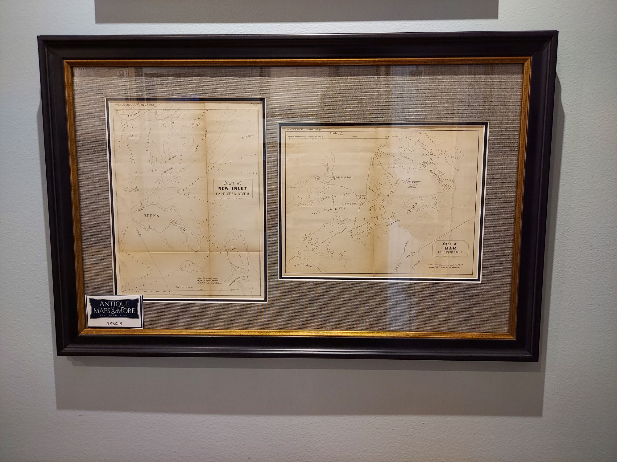
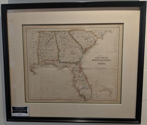
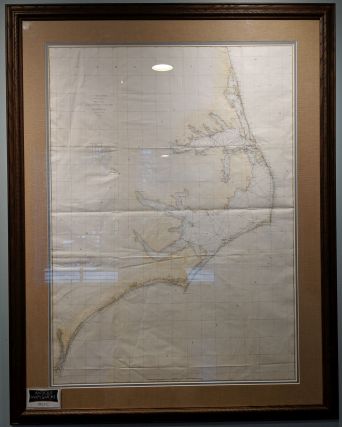
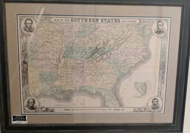
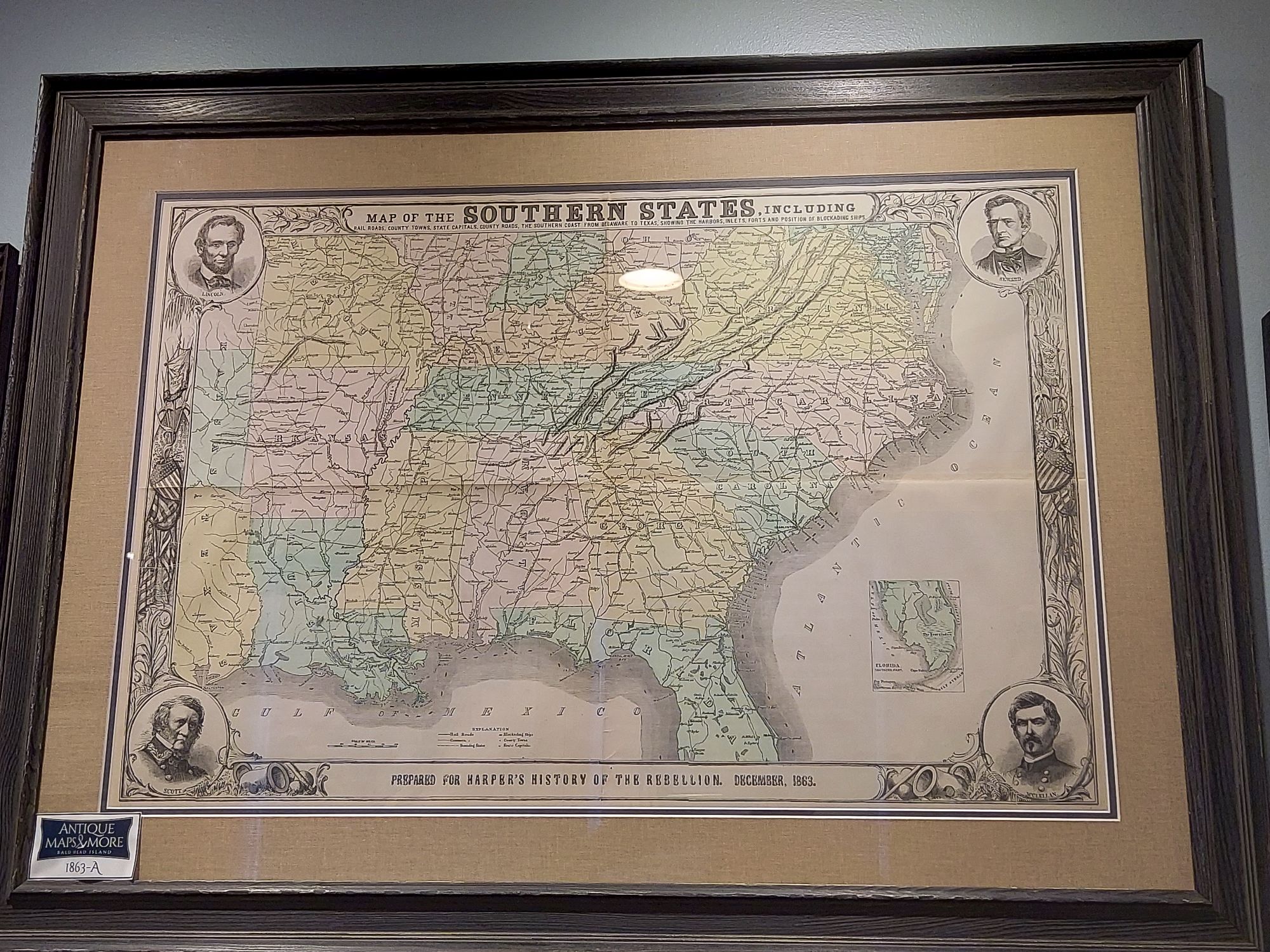
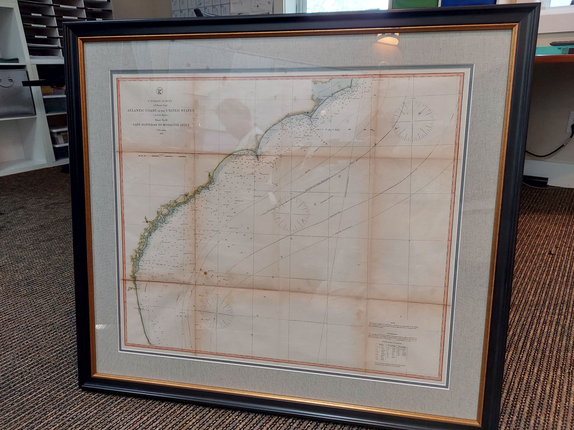
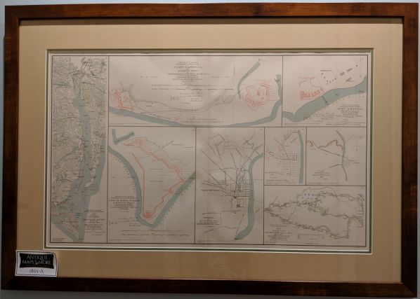
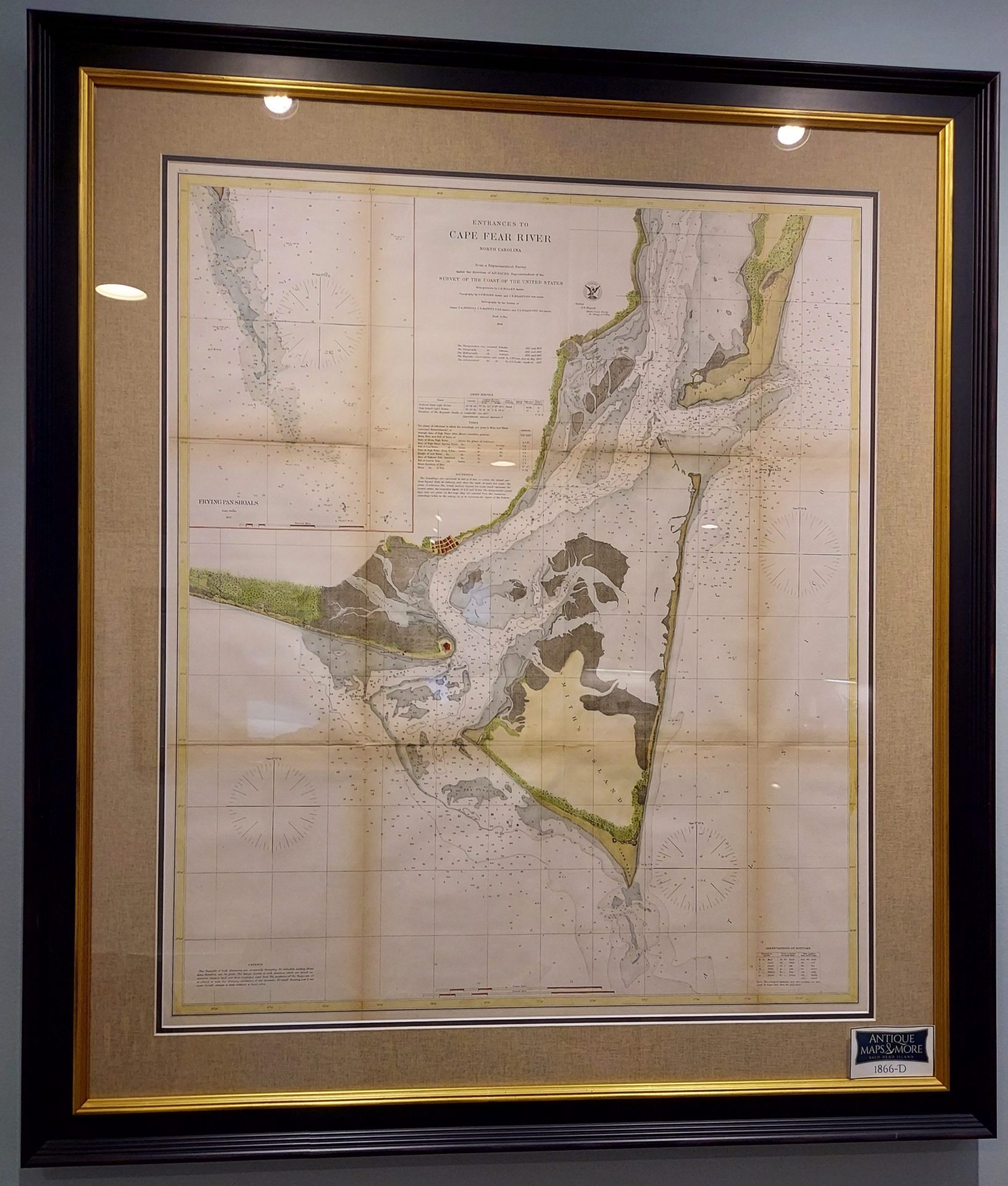
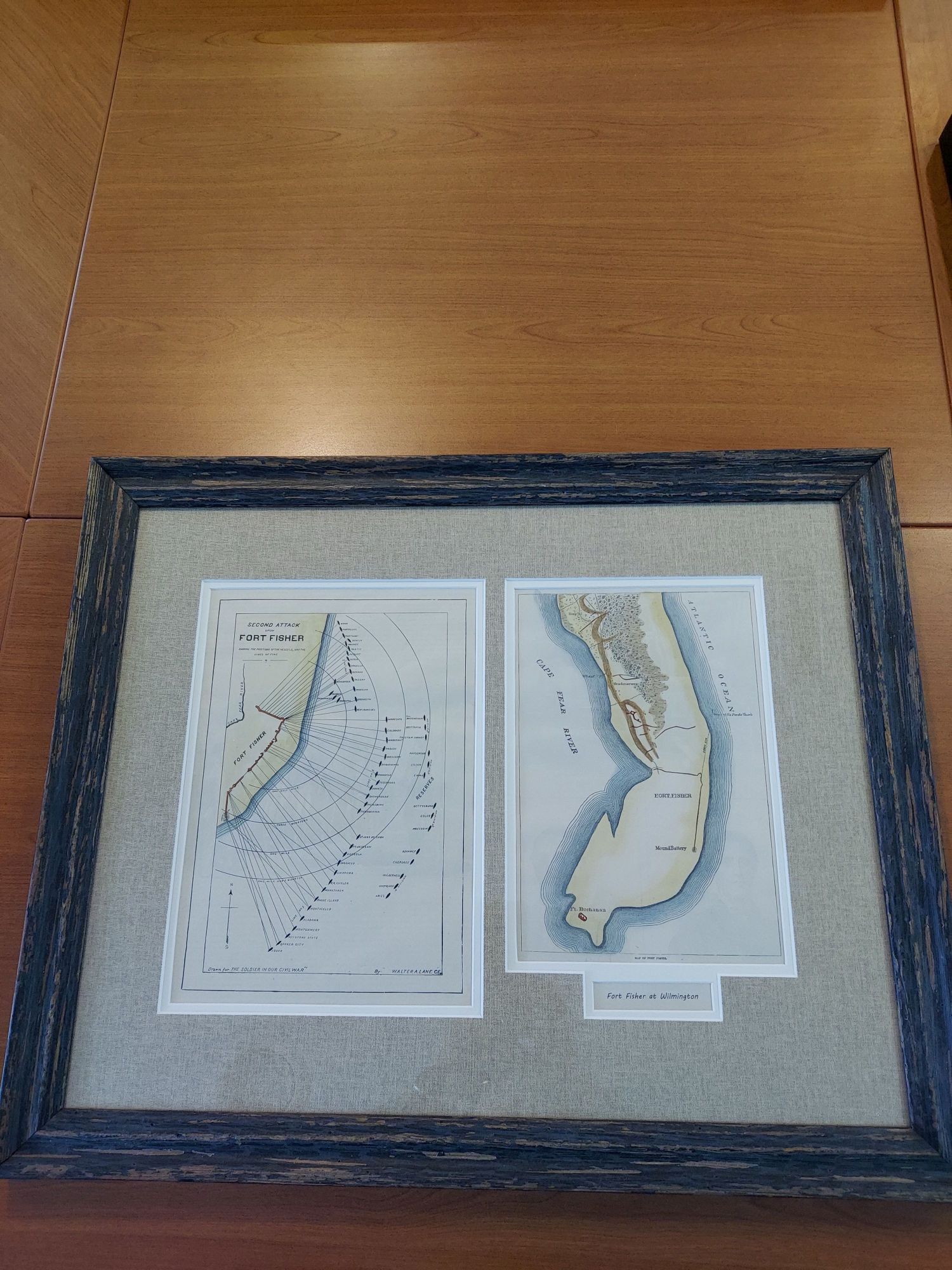
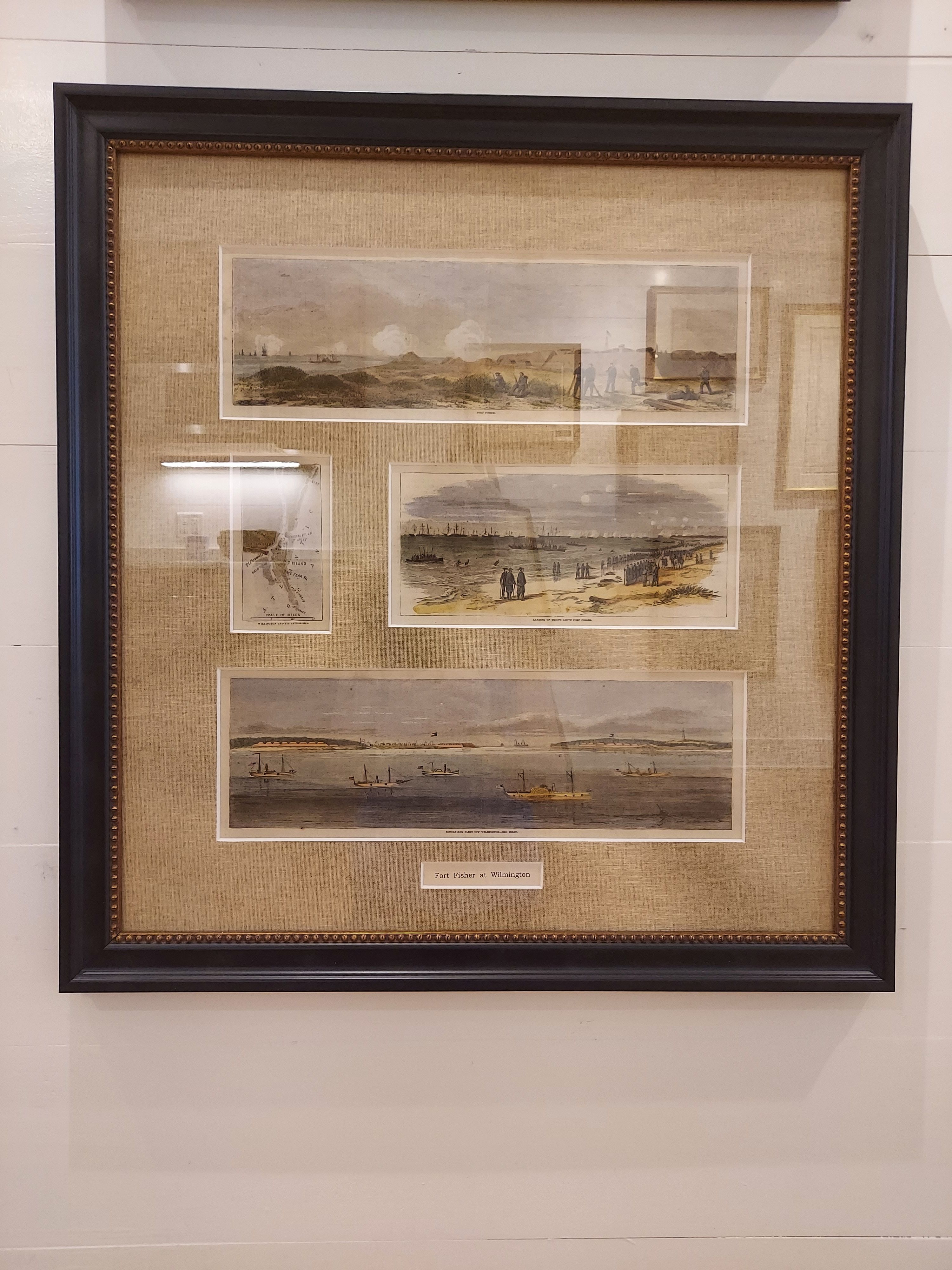
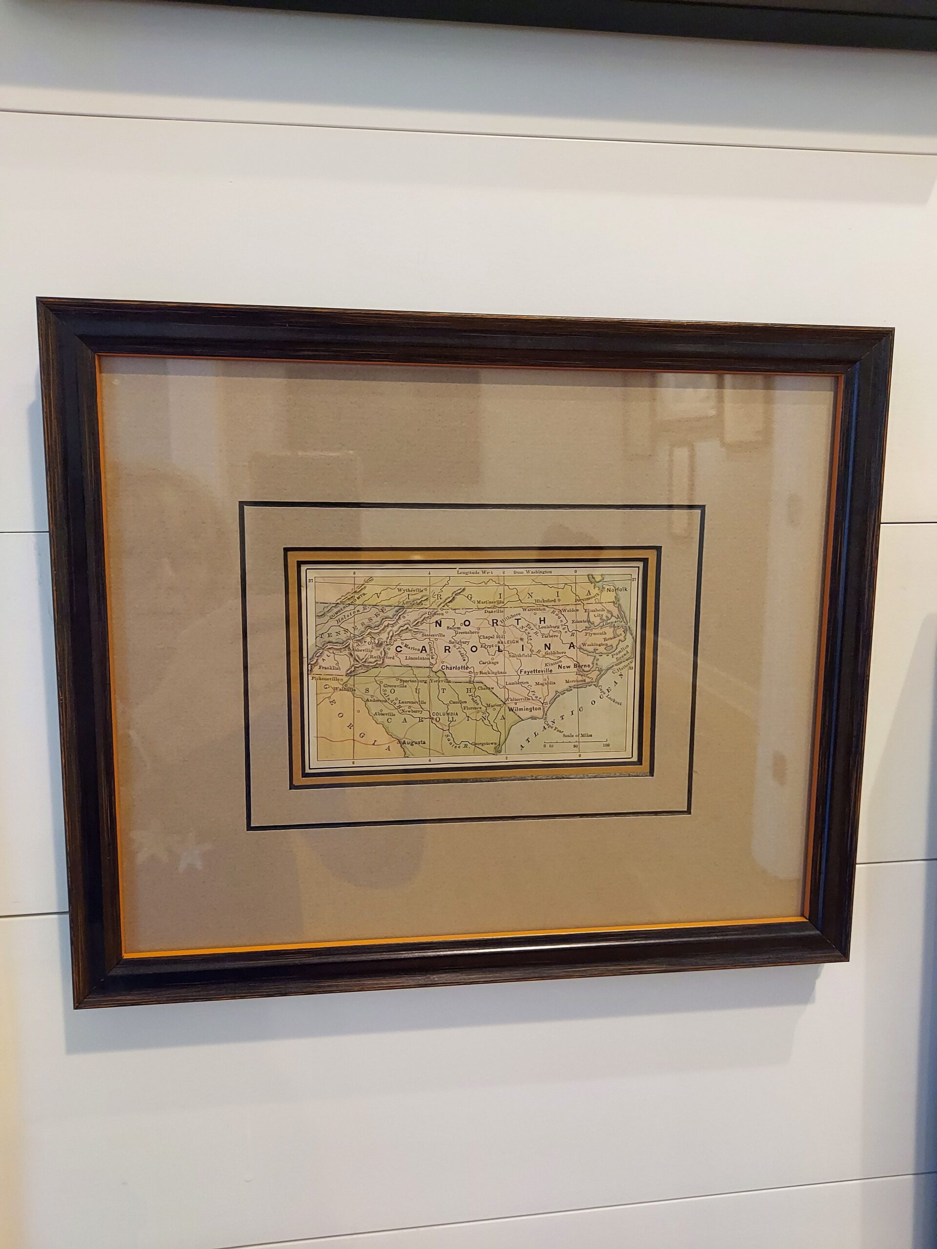
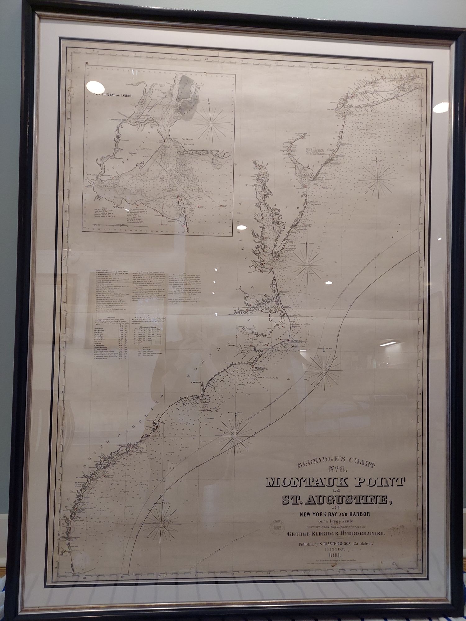
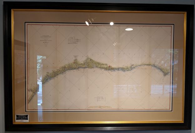
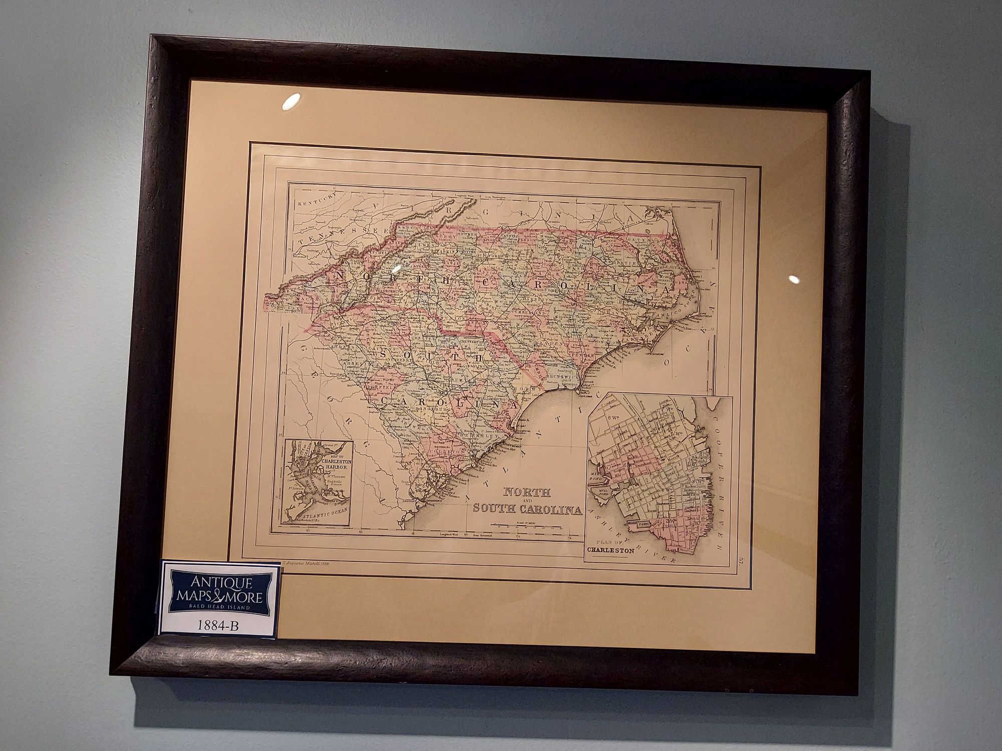
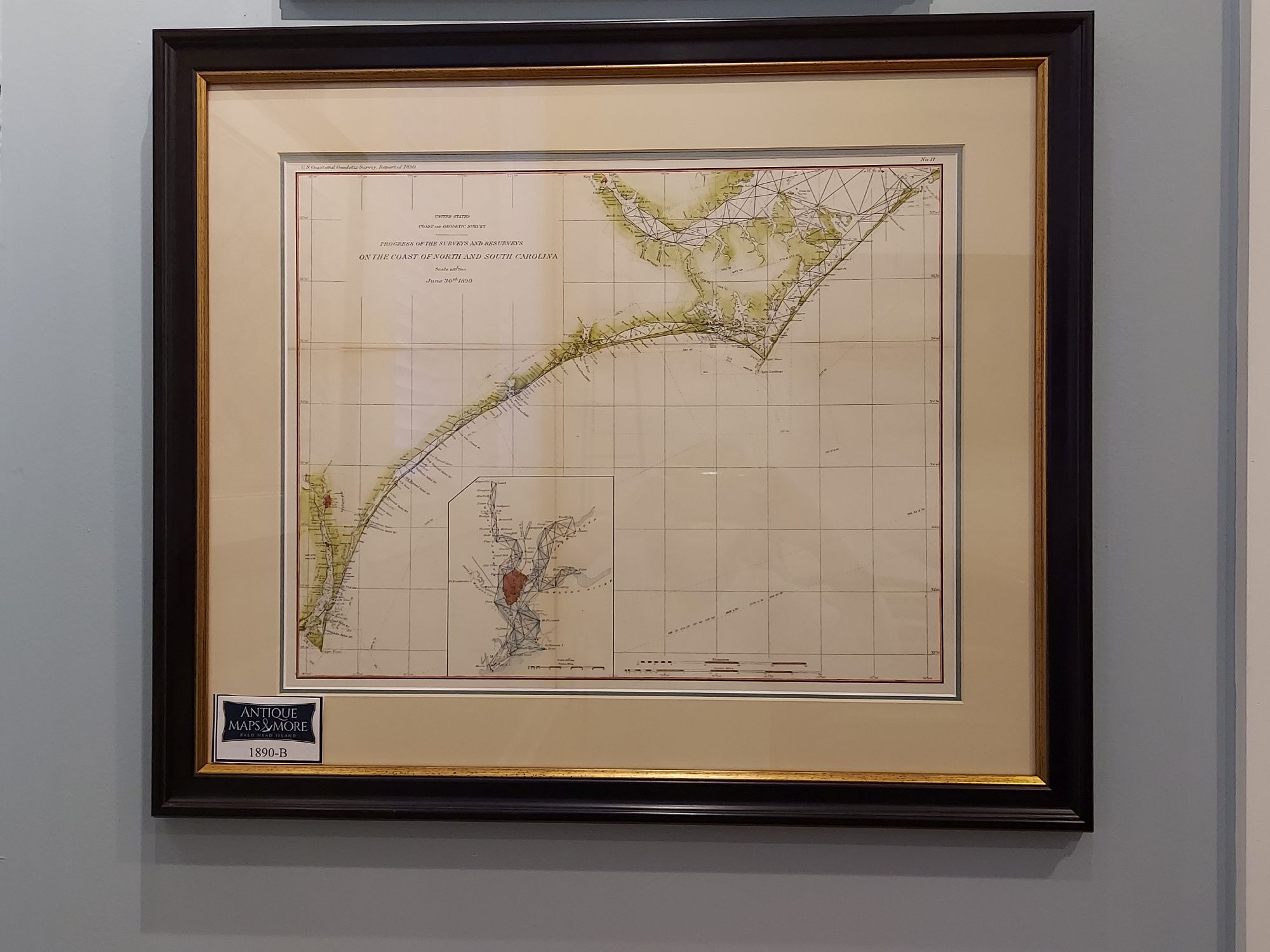
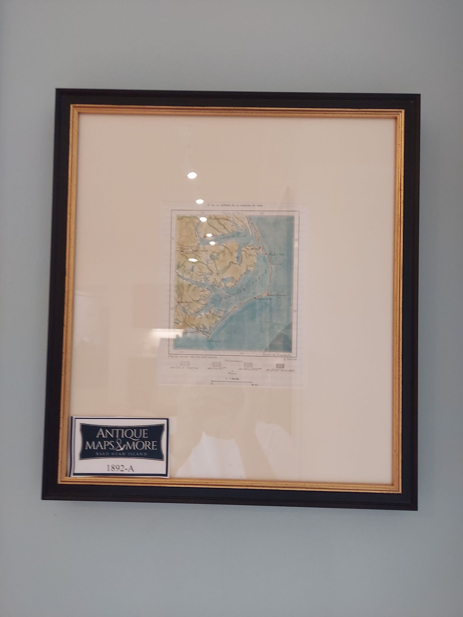
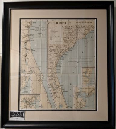
In 2017, Wendy and Andy added an exciting new retail enterprise headquartered at 6D Merchants Row: Antique Maps & More! The store features handsomely framed maps spanning several centuries; produced not only in America, but also from several European countries. Aside from selling historic maps, Antique Maps & More offers complimentary Scavenger Hunt maps, Nature Maps and the famed WWP Island map.

Maps & More

North Carolina by Thomas Bradford

1846

North Carolina by Thomas Bradford


A New Map of the NTH CAROLINA with its Canals, Roads and Distances From place to place along the Stage and Steamboat Routes

1850

A New Map of the NTH CAROLINA with its Canals, Roads and Distances From place to place along the Stage and Steamboat Routes


U.S. Coast Survey A.D. Bache Superintendent Sketch of Frying Pan Shoals and Cape Fear River

1851-C

U.S. Coast Survey A.D. Bache Superintendent Sketch of Frying Pan Shoals and Cape Fear River


US Coast Survey Chart or Map of Beaufort Harbor, NC

1851-D

US Coast Survey Chart or Map of Beaufort Harbor, NC


Verein-Staaten von Nord-America mit Ausnahme Florida's und der westlichen Territorien

1851-F

Verein-Staaten von Nord-America mit Ausnahme Florida's und der westlichen Territorien


U.S. Coast Survey A.D. Bache Superintendent Sketch No. 2 Showing Progress of the Survey of Cape Fear and Vicinity In Sections No. IV & V

1852-C

U.S. Coast Survey A.D. Bache Superintendent Sketch No. 2 Showing Progress of the Survey of Cape Fear and Vicinity In Sections No. IV & V


Chart of NEW INLET Cape Fear River

1853-1854

Chart of NEW INLET Cape Fear River


US Coast Survey, Sketch D. No. 2 Cape Fear and Vicinity

1853-D1

US Coast Survey, Sketch D. No. 2 Cape Fear and Vicinity


Preliminary Chart of the Entrances to the CAPE FEAR RIVER and NEW INLET North Carolina

1853-Q

Preliminary Chart of the Entrances to the CAPE FEAR RIVER and NEW INLET North Carolina


Chart of New Inlet Cape Fear River and Chart of Bar Cape Fear River

1854-B

Chart of New Inlet Cape Fear River and Chart of Bar Cape Fear River


U.S. Coast Survey A.D. Bache Superintendent Sketch D No. 2 Showing Progress of the Survey of Cape Fear and Vicinity In Sections No. IV & V

1854-E

U.S. Coast Survey A.D. Bache Superintendent Sketch D No. 2 Showing Progress of the Survey of Cape Fear and Vicinity In Sections No. IV & V


North Carolina

1855-H

North Carolina


NORTH CAROLINA

1855-I

NORTH CAROLINA


States of South Carolina, Georgia, Alabama, and Florida

1857

States of South Carolina, Georgia, Alabama, and Florida


U.S. Coast Survey A.D. Bache Superintendent Sketch D No. 2 Showing the Progress of the Survey of Cape Fear and Vicinity in Section IV

1857-C

U.S. Coast Survey A.D. Bache Superintendent Sketch D No. 2 Showing the Progress of the Survey of Cape Fear and Vicinity in Section IV


Cape Fear River Entrance N.C. with Oak Island, Smith's or Bald Head Island, Fort Caswell and Federal Point

1857-E

Cape Fear River Entrance N.C. with Oak Island, Smith's or Bald Head Island, Fort Caswell and Federal Point


U.S. Coast Survey Comparative Chart of Cape Fear River Entrances North Carolina

1857-I

U.S. Coast Survey Comparative Chart of Cape Fear River Entrances North Carolina


The Western Ocean

1858-A

The Western Ocean


North Carolina with parts of S. Carolina and Virginia (Original 1862 Civil War Map no title)

1862-B

North Carolina with parts of S. Carolina and Virginia (Original 1862 Civil War Map no title)


Map of Southern States

1863-A

Map of Southern States


Map Nagivation

Previous Page | Next Page
For more information
visit us at 6D Merchants Row or contact us

Contact Us

For more information please email maps@antiquemapsandmore.com or call 910.470.0000. Open Mon-Sun, 9AM until 4PM


6D Merchant's Row, Bald Head Island

Google Map Image of Bald Head Island