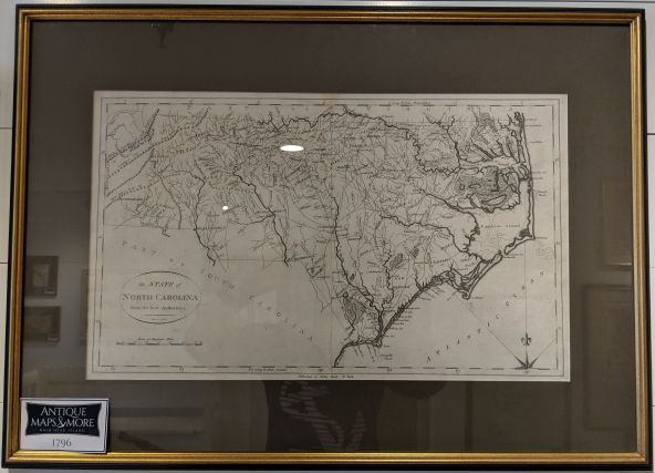
A fine example of Reid’s scarce and important 1796 map, it is derived from a 1795 chart by Samuel Lewis/John Carey. It was featured in Reid’s An American Atlas.
Dimensions: 25″w x 18″h
Country of Origin: Scotland
Cartographer: George A. Reid
For more information please email maps@antiquemapsandmore.com or call 910.470.0000. Open Mon-Sun, 9AM until 4PM
6D Merchant's Row, Bald Head Island


