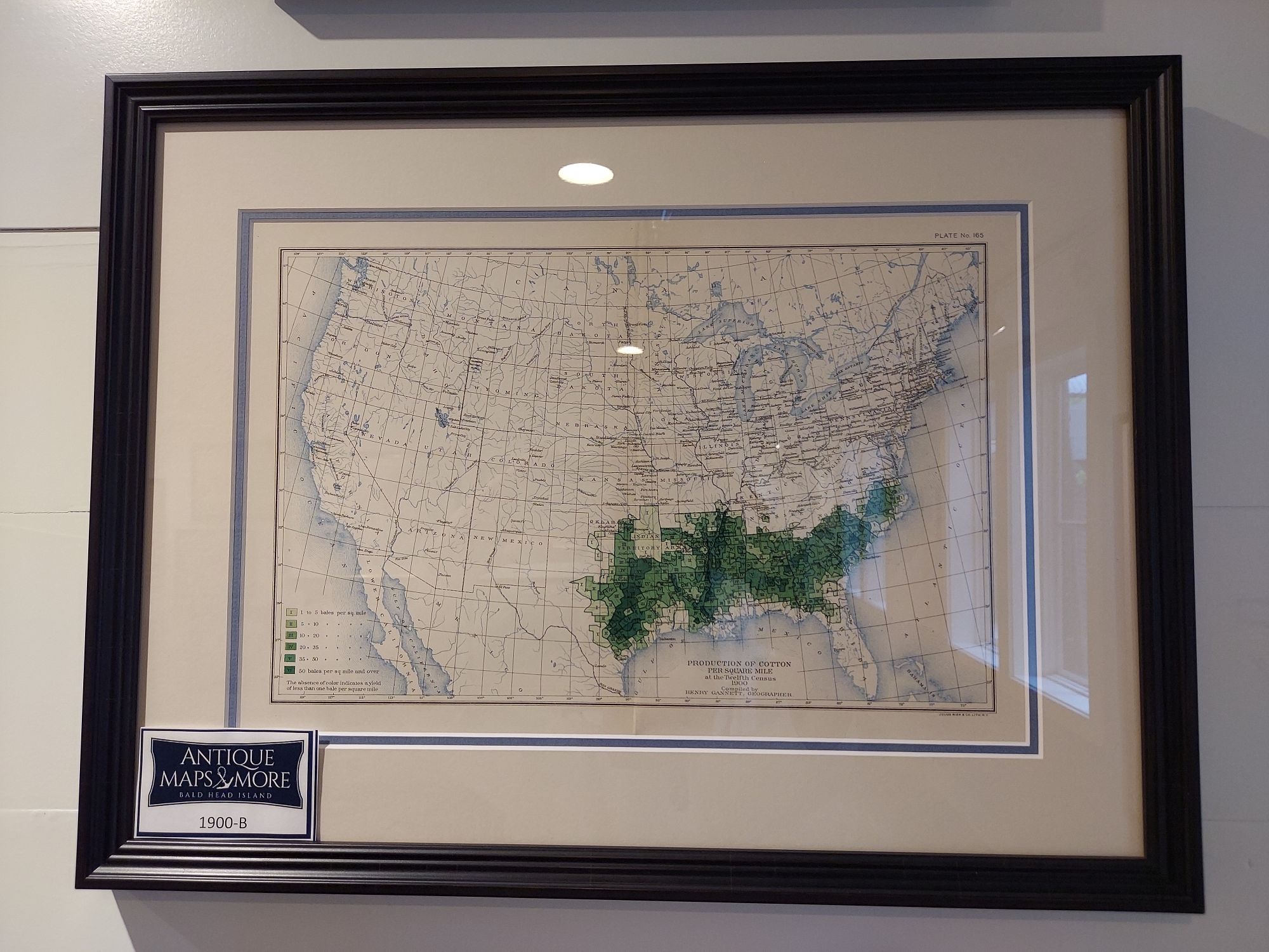
Henry Gannett, “father of American mapmaking”, who served as the geographer of the U.S censuses in 1880, 1890 and 1900 produced this chart as well as found the National Geographic Society.
Cartographer: Henry Gannett
Country of Origin: United States
Dimensions: 19″w x 14.5″h
For more information please email maps@antiquemapsandmore.com or call 910.470.0000. Open Mon-Sun, 9AM until 4PM
6D Merchant's Row, Bald Head Island
