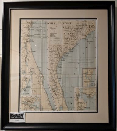
This nautical chart depicts the North and South Carolina, Georgia and Florida coasts from the New River Inlet (NC) through the Jupiter Inlet Light Station (FL). It includes detailed insets of Georgetown Harbor, Charleston Harbor, the Savannah River’s mouth and the Cape Fear River’s mouth.
Dimensions: 23.5″w x 26.5″h
Country of Origin: U.S.
For more information please email maps@antiquemapsandmore.com or call 910.470.0000. Open Mon-Sun, 9AM until 4PM
6D Merchant's Row, Bald Head Island
