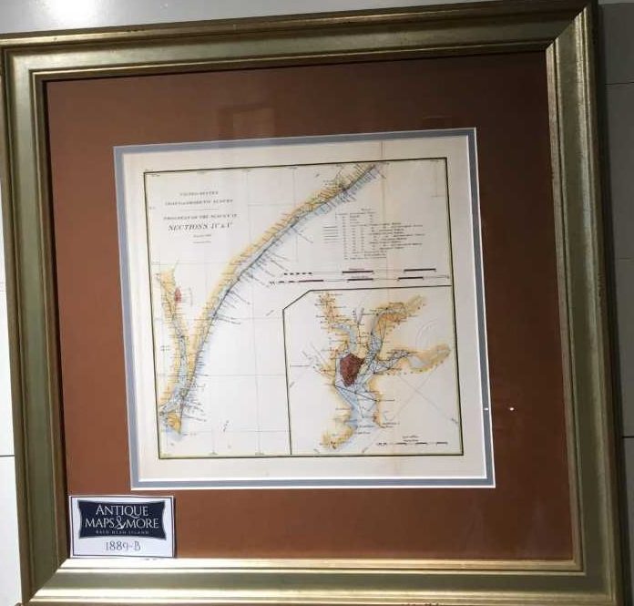
This professionally-colored U.S. coast and geodetic survey shows the progress of the U.S. Coast Survey, sections IV and V as of June 30, 1889. It details all the eastern coast inlets between Brown’s Inlet and Cape fear. A detailed inset of Charleston Harbor is included.
Dimensions: 19.5″w x 19″h
Country of Origin: U.S.
For more information please email maps@antiquemapsandmore.com or call 910.470.0000. Open Mon-Sun, 9AM until 4PM
6D Merchant's Row, Bald Head Island


