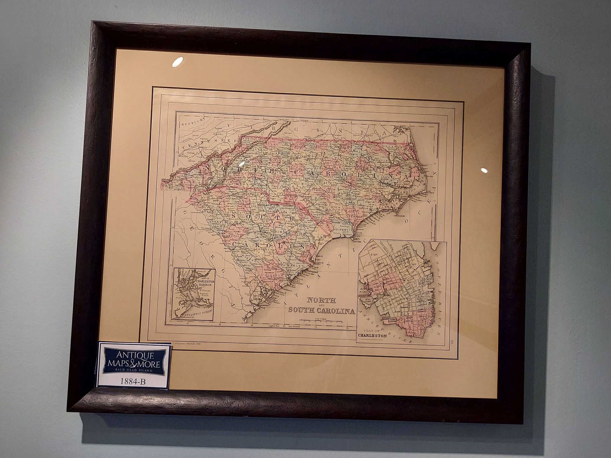
This Samuel Augustus Mitchell Jr.’s map offers a snapshot of both states shortly after the Civil War. It includes insets of a city plan of Charleston and its harbor. Note: Smith Island, now Bald head Island, is identified on this chart.
Cartographer: Samuel Augustus Mitchell, Jr.
Dimensions: 20.5″w x 18″h
Country of Origin: United States
For more information please email maps@antiquemapsandmore.com or call 910.470.0000. Open Mon-Sun, 9AM until 4PM
6D Merchant's Row, Bald Head Island
