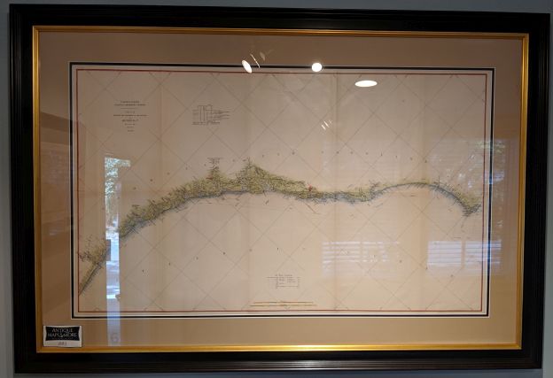
This expansive professionally hand-colored chart, dated June 30, 1883, details the eastern coastline of the United States from Wilmington, NC to Jacksonville, FL. It provides comprehensive specifics about longitudinal and latitudinal locations as well as soundings’ measurements.
Dimensions:46″w x 31.5″h
Country of Origin: U.S.
For more information please email maps@antiquemapsandmore.com or call 910.470.0000. Open Mon-Sun, 9AM until 4PM
6D Merchant's Row, Bald Head Island
