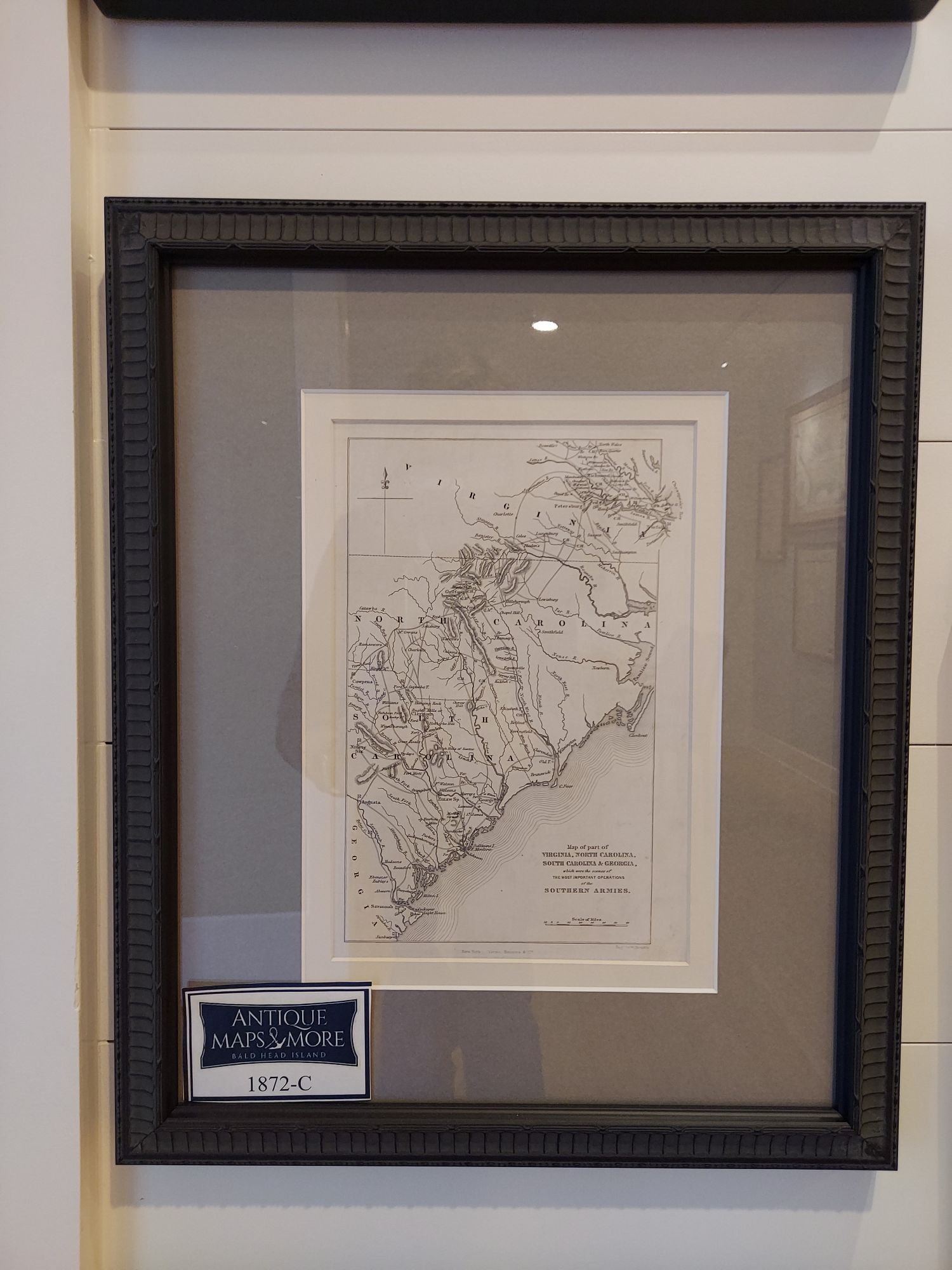
This original W. Kemble black and white chart shows Confederate army operations during the Civil War. Sites of military engagements are marked with red flags. This map appears in John Marshall’s Life of George Washington. 2nd ed.
Cartographer: W. Kemble
Dimensions: 14″W x 17″H
Country of Origin: United States
For more information please email maps@antiquemapsandmore.com or call 910.470.0000. Open Mon-Sun, 9AM until 4PM
6D Merchant's Row, Bald Head Island
