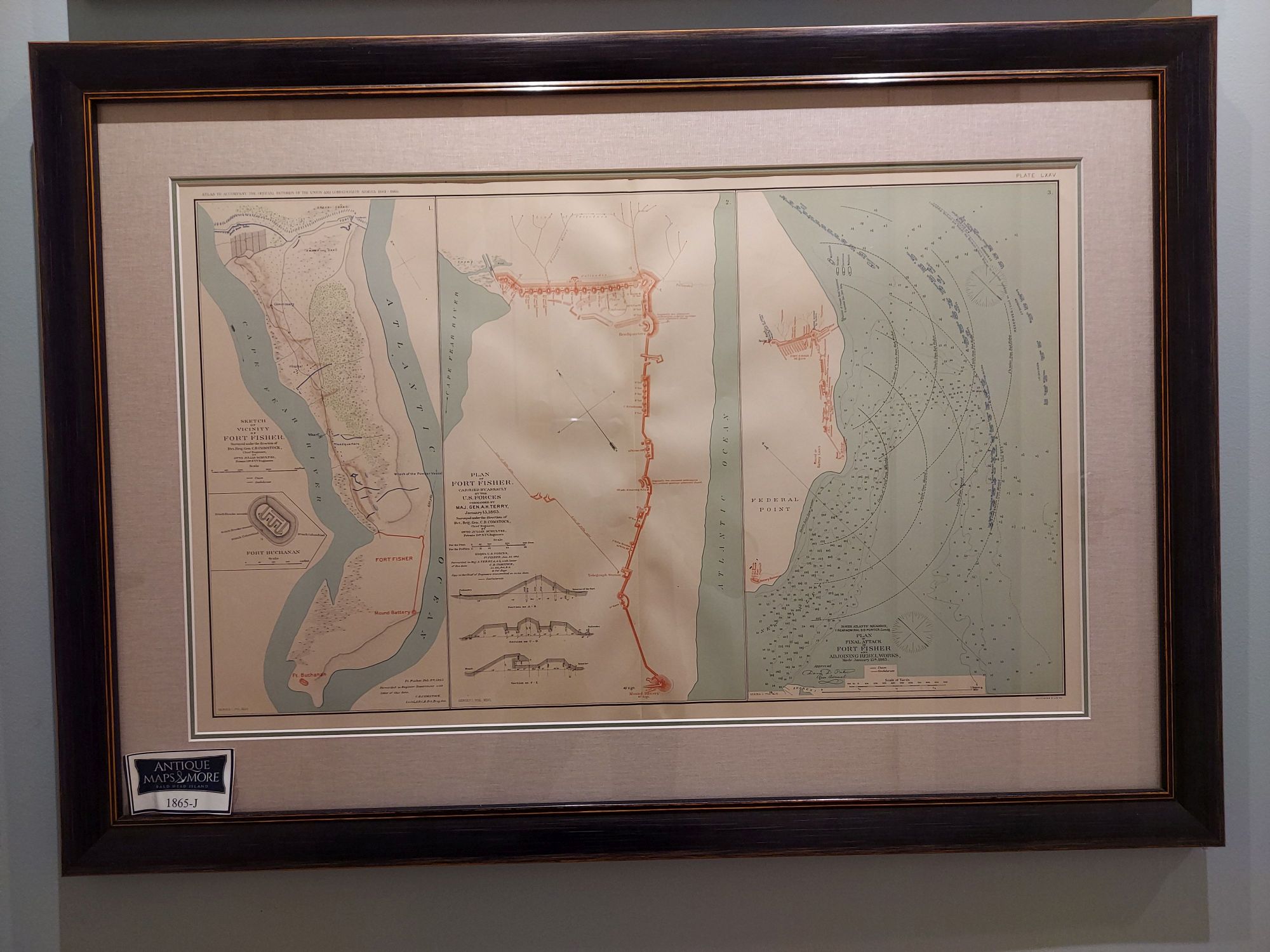
From The Atlas to Accompany the Official Records of the Union and Confederate Armies 1861-1865, these three charts show a survey done under the direction of BVT. Brig. Gen. C.B. Comstock on February 9, 1865; the plan for U.S. Forces Maj. Gen. A.H. Terry’s assault which occurred on January 15, 1865; and the final attack on Fort Fisher and adjoining Rebel Works also carried out on January 15, 1865.
Dimensions:36.5″w x 26″h
Country of Origin: United States
For more information please email maps@antiquemapsandmore.com or call 910.470.0000. Open Mon-Sun, 9AM until 4PM
6D Merchant's Row, Bald Head Island
