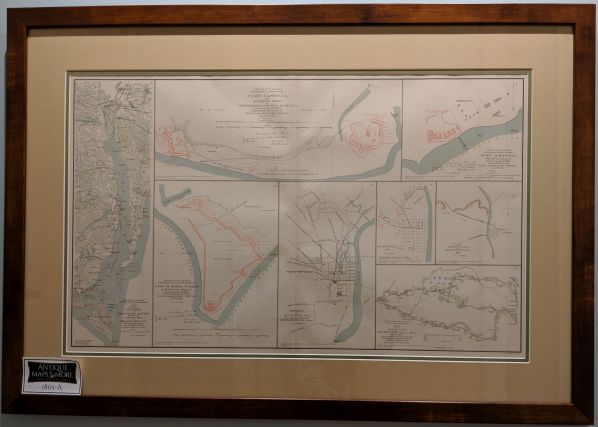
These Charts from the Atlas to Accompany the Official Records of the Union & Confederate Armies feature: Map of Parts of Brunswick and New Hanover Counties; Fort Caswell and Adjoining Works at Western Bar Cape Fear River, N.C.; Fort Johnston, Smithville, N.C.; Line of Rebel Works Smith’s Island, N.C.; Augusta, GA; Plan of Fortifications of Columbus, GA; Defenses of Augusta, GA; Map of the Battlefield of CHAMPION’s HILL, MISS. These startegic Civil War charts were originally in possession of Gen. W.T. Sherman and Gen. Braxton Bragg.
Dimensions: 35.5″w x 25″h
Country of Origin: U.S.
For more information please email maps@antiquemapsandmore.com or call 910.470.0000. Open Mon-Sun, 9AM until 4PM
6D Merchant's Row, Bald Head Island
