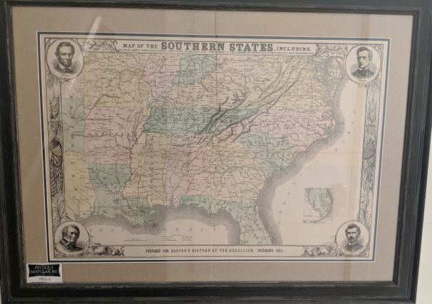
This informative end-of-the-Civil War military map of southern states covers from the Chesapeake Bay to Cape Canaveral, FL and westward along the Gulf Coast to Galveston, TX. It includes railroads, county towns, state capitals, country roads, harbors, inlets, forts, and positions of blockading ships. It is embellished with corner medallions of Abraham Lincoln, William H. Seward, Winfield Scott and George B. McClellan.
Dimensions: 40″w x 29″h
Country of Origin: U.S.
For more information please email maps@antiquemapsandmore.com or call 910.470.0000. Open Mon-Sun, 9AM until 4PM
6D Merchant's Row, Bald Head Island
