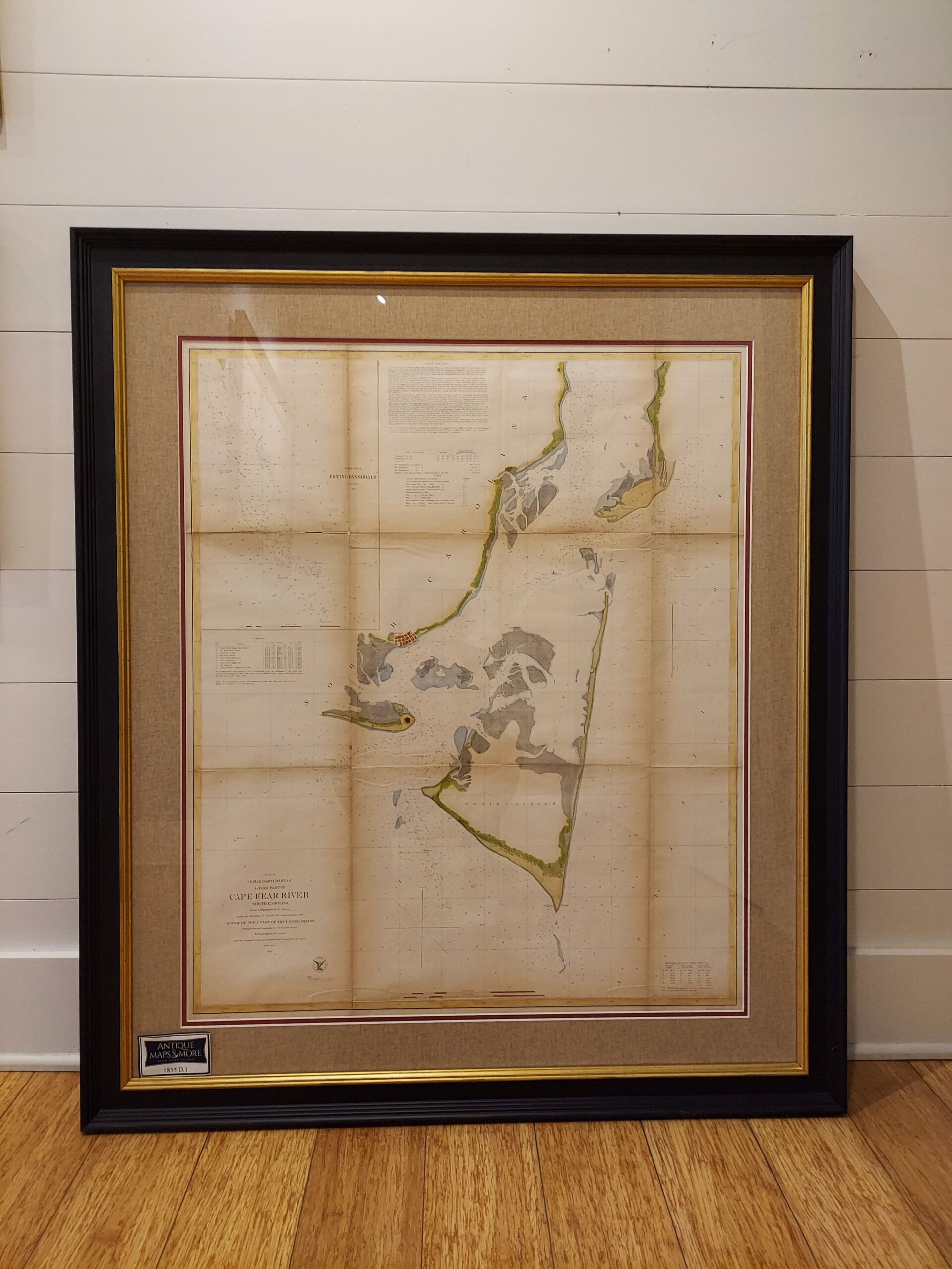
This chart spotlights the Cape Fear River heading to the North Carolina Coast from north of Federal Point to the Frying Pan Shoals. It is from a trigonometrical survey conducted by the Survey of the Coast under the direction of A.D. Bache, Superintendent of the Survey. The chart includes three insets featuring a detail of Frying Pan Shoals and information regarding tides and currents.
Cartographer: A.D. Bache
Country of Origin: United States
Dimensions: 35″w x 41″h
For more information please email maps@antiquemapsandmore.com or call 910.470.0000. Open Mon-Sun, 9AM until 4PM
6D Merchant's Row, Bald Head Island
