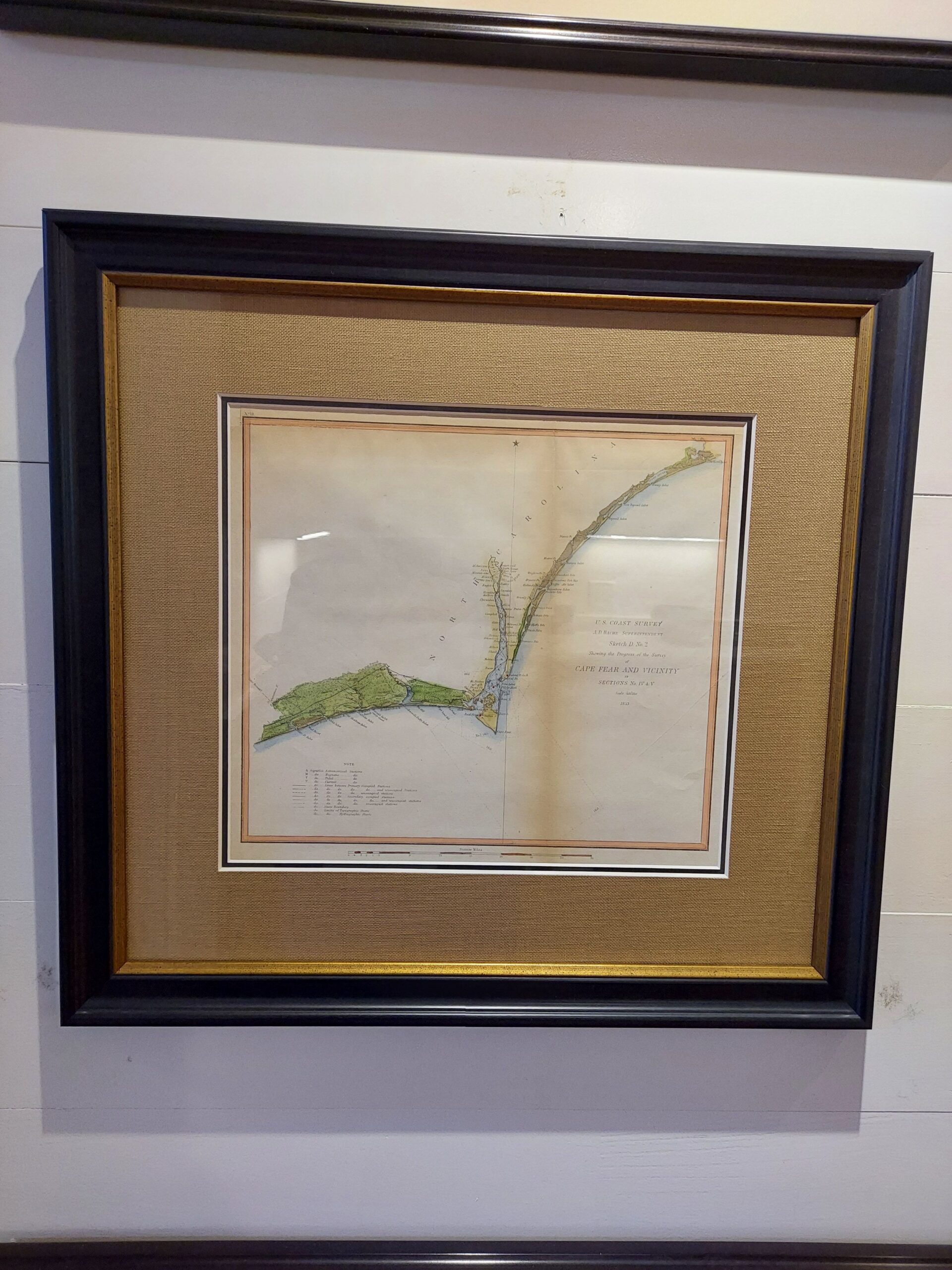
This nautical chart depicts the waters around Smith Island (modern-day Bald Head Island) and the Cape Fear River from New Inlet to Cape Fear. Shading around Smith Island highlights shallow areas. Harbors, creeks, islands, lighthouses, channels, capes, shoals, coastal towns, and other topographical features are identified. Note the changes in coastal land over time.
This map was issued under the supervision of A.D. Bache, Superintendent of the United States Coast Survey. Alexander Dallas Bache (1806-1867) was a prolific surveyor. Over the course of the 19th century, the Survey worked closely with the U.S. Navy to produce sea charts of the country’s waters that served scientific and military purposes.
Dimensions: 20″W x 19″H
Cartographer: A.D. Bache
Country of Origin: United States
For more information please email maps@antiquemapsandmore.com or call 910.470.0000. Open Mon-Sun, 9AM until 4PM
6D Merchant's Row, Bald Head Island


