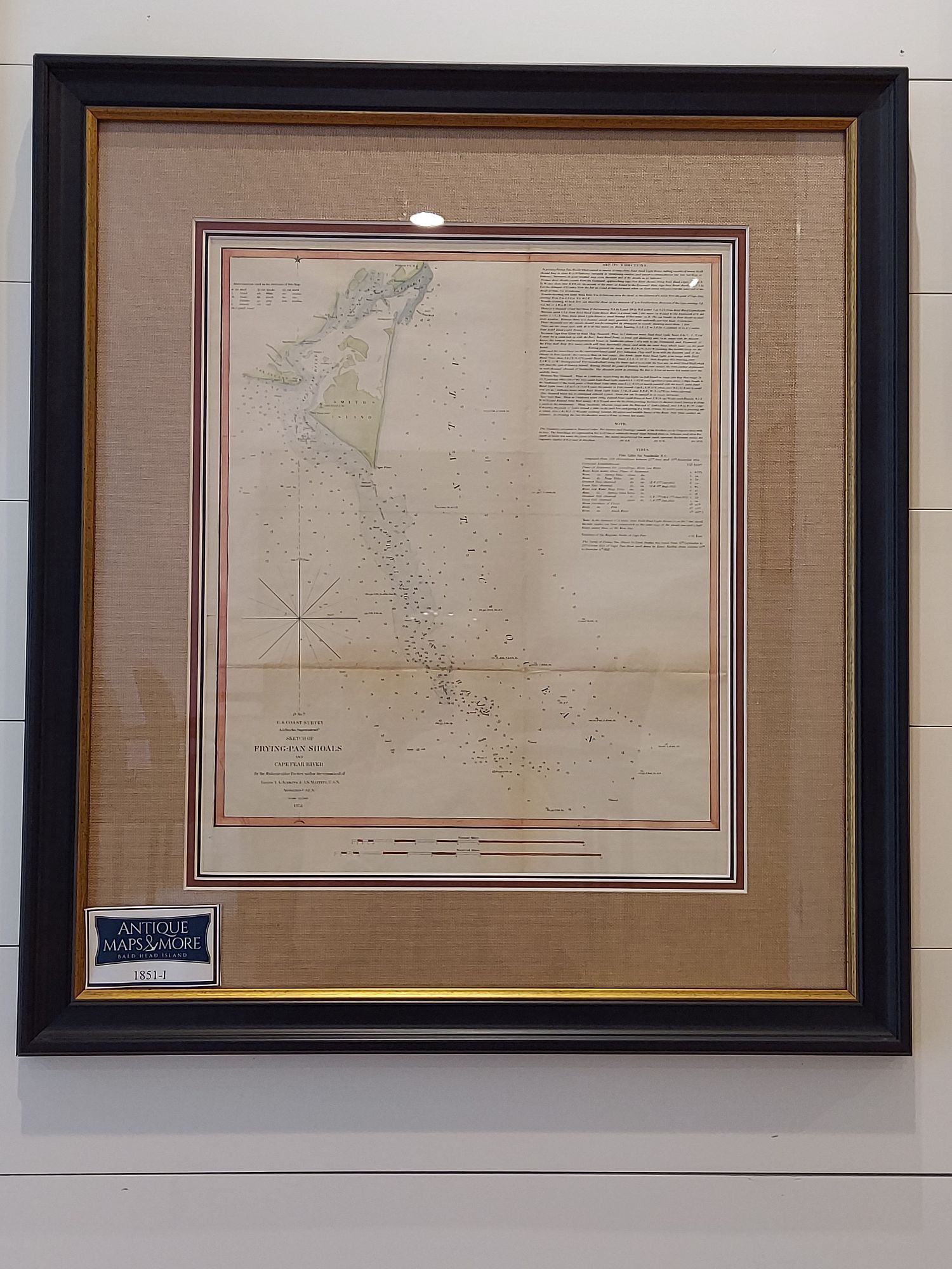
This is an 1851 U.S. Coast Survey nautical chart of the Frying Pan Shoals and Cape Fear River in North Carolina. It depicts from the Federal Point lighthouse on the southern tip of Pleasure Island to the Frying Pan Shoals in the Atlantic Ocean. Smith’s Island and parts of Oak Island are illustrated. The Frying Pan Shoals cover a large area and are strewn with several shipwrecks. Detailed sailing directions and the tide table for Smithville, North Carolina, are included along the right border. Counties and depth soundings are noted throughout.
Cartographer: A.D. Bache
Dimensions: 24″ H x 21″ W
Country of Origin: United States
For more information please email maps@antiquemapsandmore.com or call 910.470.0000. Open Mon-Sun, 9AM until 4PM
6D Merchant's Row, Bald Head Island


