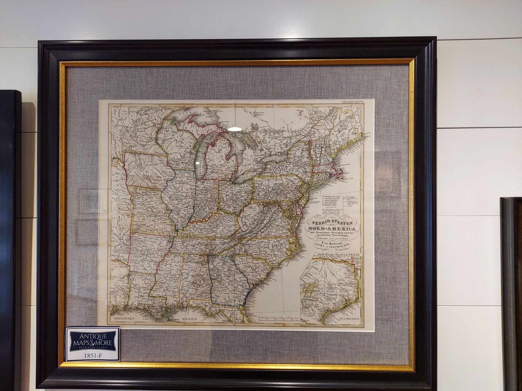
This map of the eastern United States depicts Galveston Bay to the Atlantic and Lake Superior to the Gulf of Mexico. There are several special items noted on this chart. The first is the inset of Texas as it appeared during the Mexican-American War. The second is North Carolina’s gold region-the site of the U.S.’s first gold rush. The third is the Mainzer Adelsverein in Texas. This is a society founded in 1842 that attempted to establish a German colony within the Republic of Texas.
Cartographer: Johann Friedrich von Stulpnagel
Dimensions: 24″w x 21″h
Country of Origin: Prussia
For more information please email maps@antiquemapsandmore.com or call 910.470.0000. Open Mon-Sun, 9AM until 4PM
6D Merchant's Row, Bald Head Island
