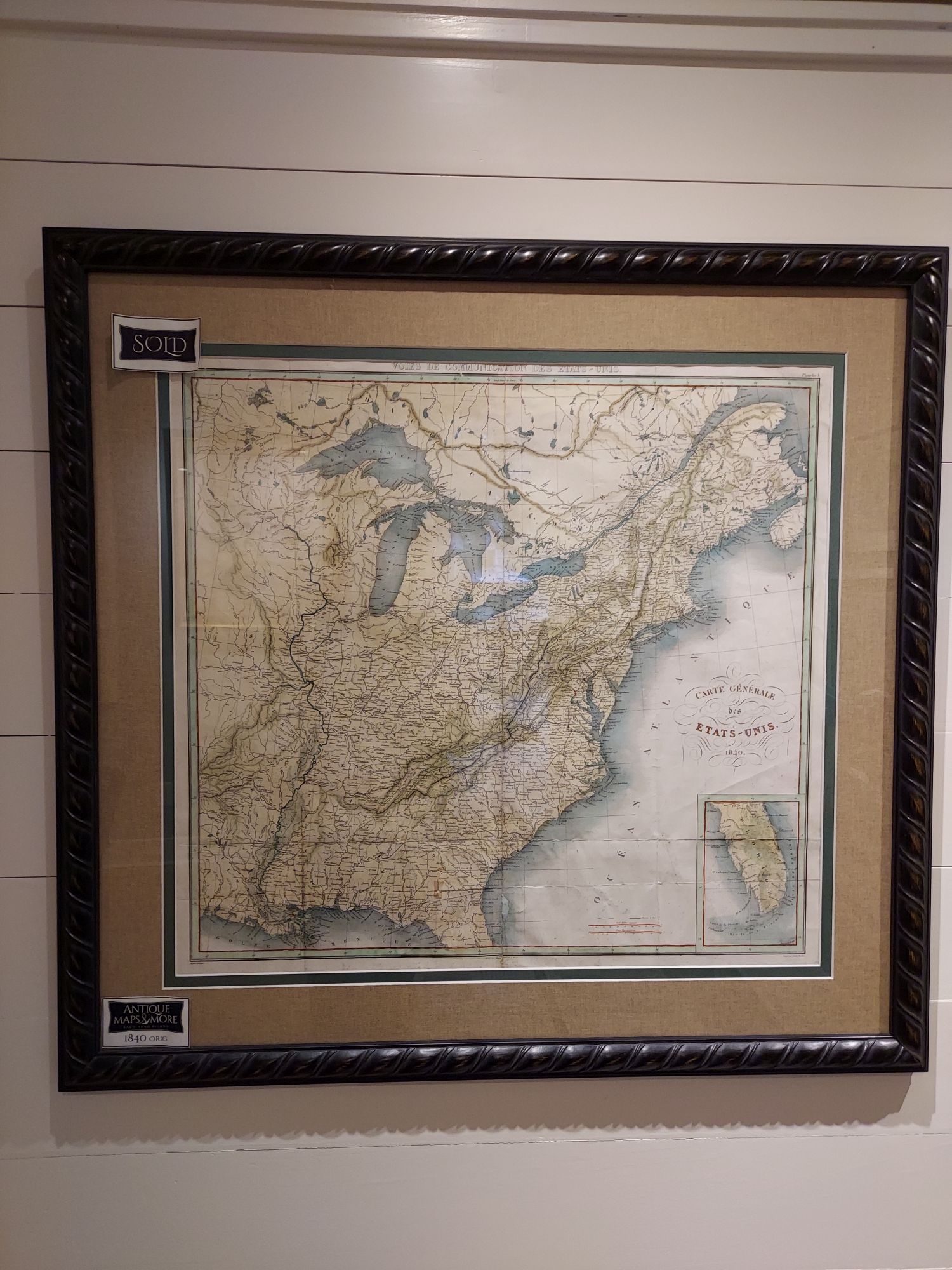
This original chart of North America’s East Coast depicts from the Saint Lawrence Seaway to northern Florida. It includes lands beyond the Mississippi River to the west and beyond the Great Lakes to the north.
Dimensions: 34″w x 32.5″h
Country of Origin: France
For more information please email maps@antiquemapsandmore.com or call 910.470.0000. Open Mon-Sun, 9AM until 4PM
6D Merchant's Row, Bald Head Island


