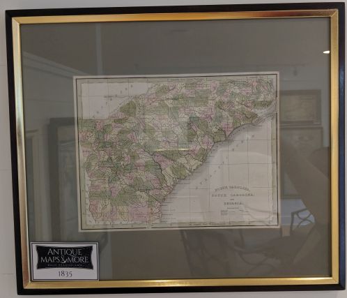
This scarce map was published as plate no. 40 in the 1835 Comprehensive Atlas Geographical, Historical and Commercial. This was one of the first American atlases to follow an encyclopedic format. It was also the first atlas to show a separate Republic of Texas.
Dimensions: 17″w x 14.5″h
Country of Origin: U.S.
Cartographer: Thomas Bradford
For more information please email maps@antiquemapsandmore.com or call 910.470.0000. Open Mon-Sun, 9AM until 4PM
6D Merchant's Row, Bald Head Island


