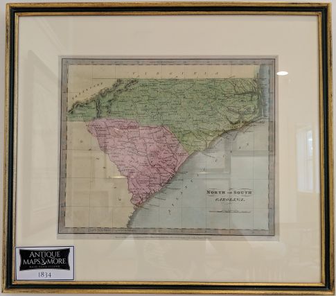
This first edition map of North and South Carolina depicts counties, rivers, roads, towns, cities, islands and mountains. It is beautifully rendured by hachure.
Dimensions: 19″w x 17″h
Country of Origin: U.S.
Cartographer David H. Burr
For more information please email maps@antiquemapsandmore.com or call 910.470.0000. Open Mon-Sun, 9AM until 4PM
6D Merchant's Row, Bald Head Island


