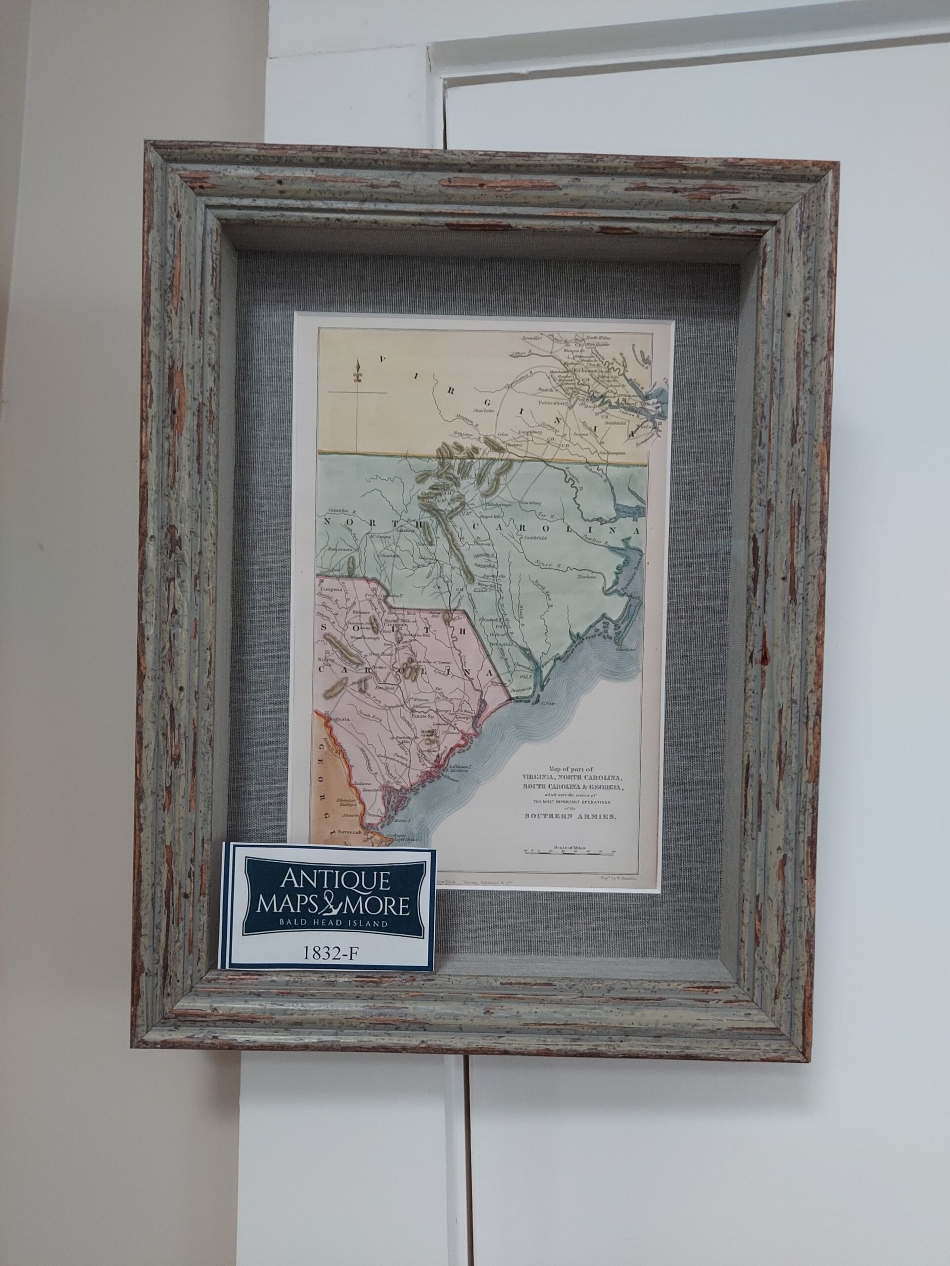
This hand-colored chart was published in an atlas to accompany John Marshall’s Life of Washington. It details the changing positions of the American and British armies in the southern colonies.
Dimensions:10″w x 13.5″h
Country of Origin: France
Cartographer: Jean-Nicholas Buache de Neuville
For more information please email maps@antiquemapsandmore.com or call 910.470.0000. Open Mon-Sun, 9AM until 4PM
6D Merchant's Row, Bald Head Island


