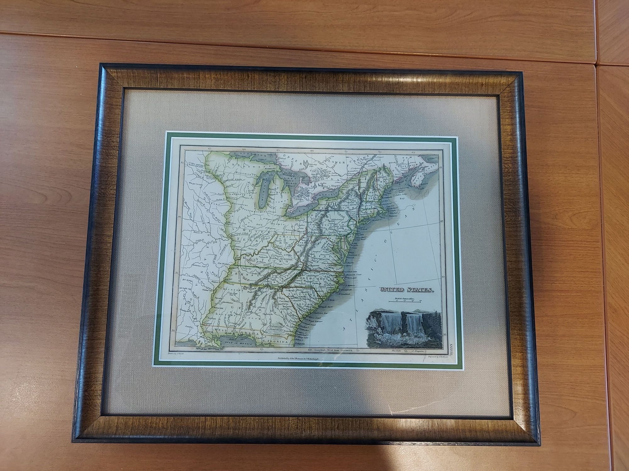
This James Wyld (the Elder) chart offers one of the scarcest features on young U.S. maps-the inclusion of Franklinia-a state named for Benjamin Franklin. This ephemeral state was settled in 1794 but never recognized by Congress. It was later annexed by North Carolina but later became part of Tennessee.
Dimensions: 18″w x 15″h
Country of Origin: United States
Cartographer: James Wyld
For more information please email maps@antiquemapsandmore.com or call 910.470.0000. Open Mon-Sun, 9AM until 4PM
6D Merchant's Row, Bald Head Island


