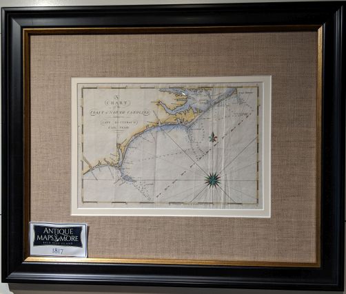
From The American Coast Pilot, this is one of seventeen engravings in this publication. It focuses on North Carolina’s coast, providing courses and distances; principal harbors, capes and headlands and a tide table.
Dimensions: 19.5″w x 17″h
Country of Origin: U.S.
Cartographer: Edmund N. Blunt
For more information please email maps@antiquemapsandmore.com or call 910.470.0000. Open Mon-Sun, 9AM until 4PM
6D Merchant's Row, Bald Head Island


