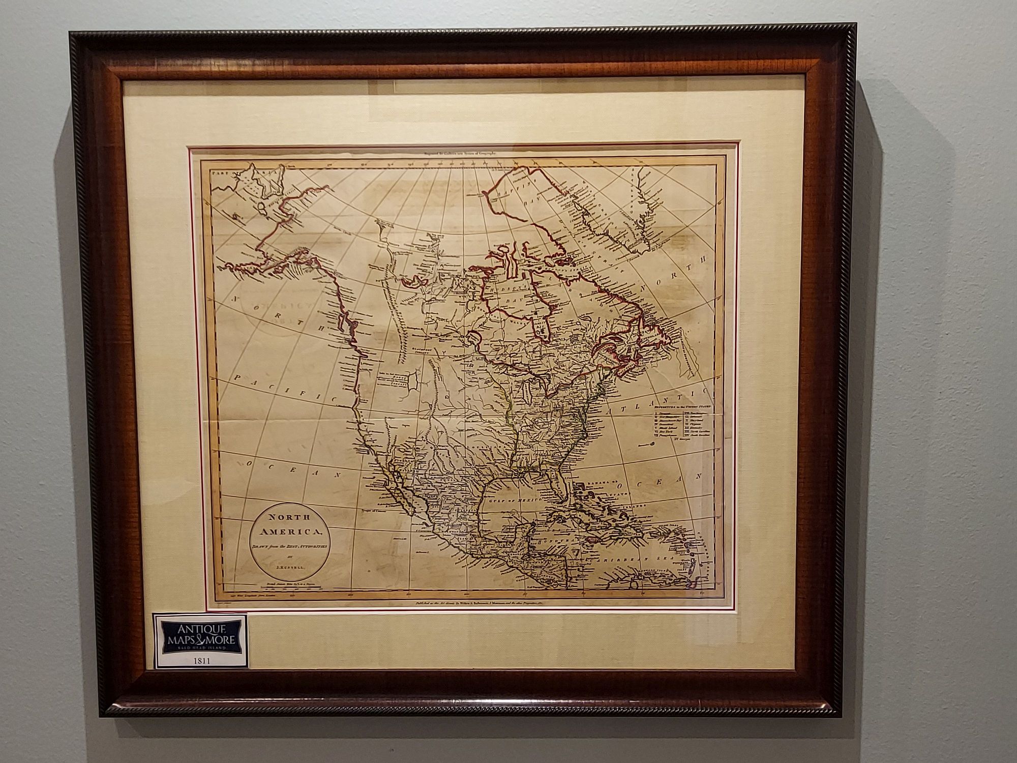
While the United States at this time only boasted 15 states and extended just to the Mississippi River, this chart extends from the Atlantic to the Pacific and from Baffin Bay and northern Canada to the northern reaches of South America. It postdates Lewis and Clark’s expedition but does not reflect their reconnaissance. However, it does provide a remarkably accurate depiction of the Great Salt Lake.
Cartographer: John Russell
Dimensions: 26″w x 23.5″h
Country of Origin: United States
For more information please email maps@antiquemapsandmore.com or call 910.470.0000. Open Mon-Sun, 9AM until 4PM
6D Merchant's Row, Bald Head Island


