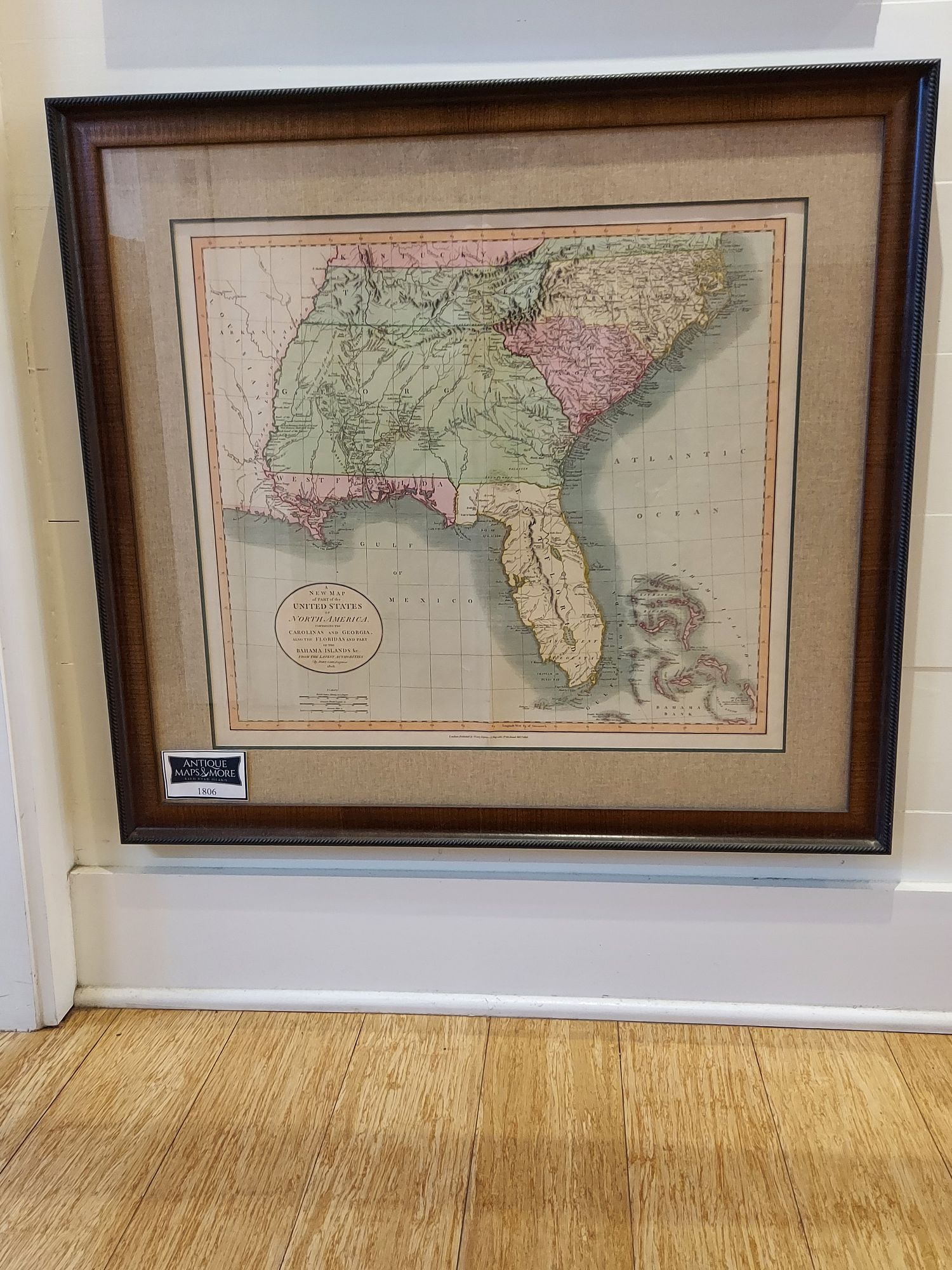
This map of the American southeast extends from Kentucky and Virginia through modern day North and South Carolinas Tennessee, Georgia, Alabama, Mississippi and Florida. Note that many territories are shown extending to the Mississippi River per the treaty of Versailles. This was prepared to be included in Cary’s New Universal Atlas.
Cartographer: John Cary
Dimensions: 29″w x 27″h
Country of Origin: Great Britain
For more information please email maps@antiquemapsandmore.com or call 910.470.0000. Open Mon-Sun, 9AM until 4PM
6D Merchant's Row, Bald Head Island


