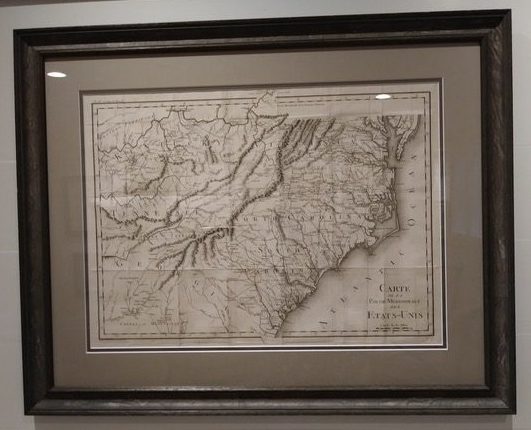
This highly detailed map was issued to accompany Michel Guilliame de Crevecoeur’s Le Voyage dans la Haute Pennsylvania et dans l’Etats de New-York, one of the most important post Revolutionary War books about life and the economy in the fledgling United States.
Dimensions: 29″w x 23″h
Country of Origin: France
Cartographer: Pierre Francois Tardieu
For more information please email maps@antiquemapsandmore.com or call 910.470.0000. Open Mon-Sun, 9AM until 4PM
6D Merchant's Row, Bald Head Island


