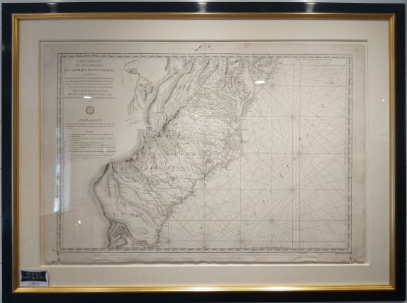
This beautiful and rare Revolutionary War era map of the East Coast features decorative rhumb lines and an exquisite treatment of topographical and geographical elements.
Dimensions: 26.5″w x 22.5″h
Country of Origin: France
Cartographer: Antoine de Sartine
For more information please email maps@antiquemapsandmore.com or call 910.470.0000. Open Mon-Sun, 9AM until 4PM
6D Merchant's Row, Bald Head Island


