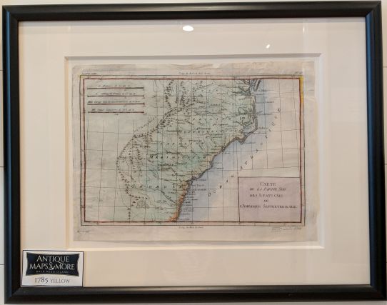
This yellow-bordered French chart is noteworthy for identifying tribal lands. In the upper right, it also provides a key denoting maritime miles to several European countries.
Dimensions: 21″w x 16.5″h
Country of Origin: France
For more information please email maps@antiquemapsandmore.com or call 910.470.0000. Open Mon-Sun, 9AM until 4PM
6D Merchant's Row, Bald Head Island


