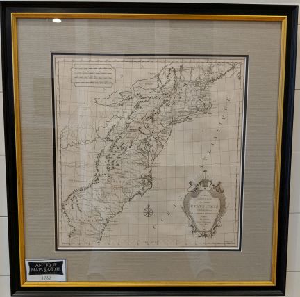
This scarce map was issued at the tail-end of the Revolutionary War. All thirteen of the original colonies are identified along with their borders understood by the French at that time.
Dimensions: 24″w x 25″ h
Country of Origin: Netherlands
Cartographer: Hendrik Klockoff
For more information please email maps@antiquemapsandmore.com or call 910.470.0000. Open Mon-Sun, 9AM until 4PM
6D Merchant's Row, Bald Head Island


