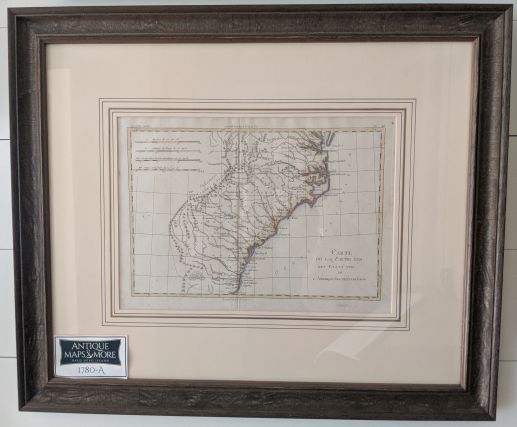
This is a hand-colored photostat of an original chart by Bonne depicting from the Chesapeake Bay to Amelia Island.
Dimensions: 23″w x 20″h
Country of Origin: France
Cartographer: Rigobert Bonne
For more information please email maps@antiquemapsandmore.com or call 910.470.0000. Open Mon-Sun, 9AM until 4PM
6D Merchant's Row, Bald Head Island


