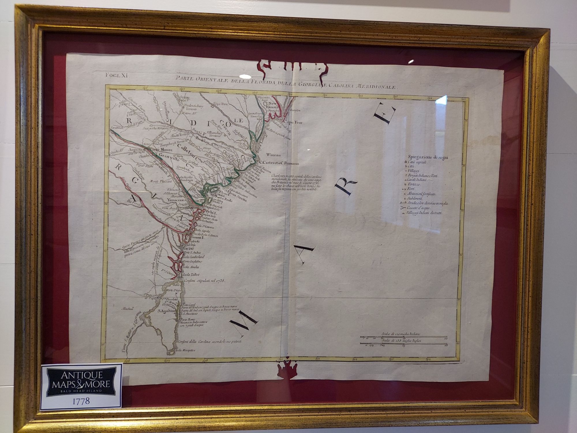
This Antonio Zatta engraving published in Venice details the Atlantic coast from St. Augustine north to Wilmington, NC, including Cape Fear. Depicting this region during the Civil War, this chart includes a note referring to the British attack on Charleston near the center of the map. Zatta is known for his “Atlante Novissimo”, a beautifully produced 18th century atlas.
Cartographer: Antonio Zatta
Dimensions: 24″W x 19″H
Country of Origin: Italy
For more information please email maps@antiquemapsandmore.com or call 910.470.0000. Open Mon-Sun, 9AM until 4PM
6D Merchant's Row, Bald Head Island


