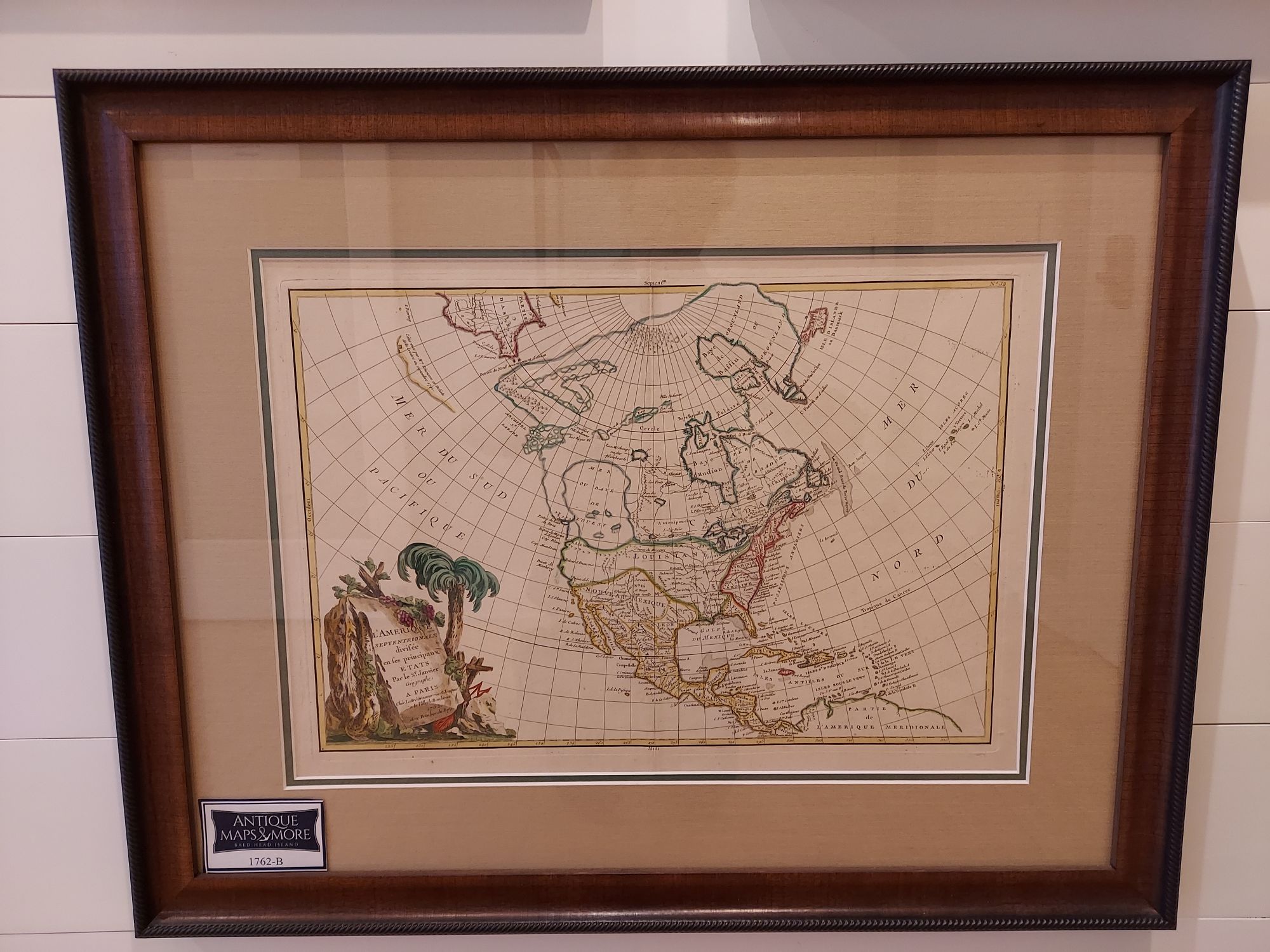
This pristine first edition example of Jean Janvier 1762 map of North America, including one of the most ambitious depictions of the Sea of the West ever published is vibrantly professionally colored. It depicts the continent from Panama to the Arctic Circle; it also extends westward to include parts of Asia and eastward as far as Iceland. This map, which is heavily influenced by the theoretical mappings of Guillaume de l’Isle and Philippe Buache, went through several states of which this is the first and possibly most interesting. Javier divides the continent according to the three colonial powers that controlled it, with England controlling its colonies along the east coast, France occupying Canada and Louisiana, and Spain dominating Mexico, Florida, Cuba, and Central America.
Dimensions: 27.5″w x 21.5″h
Country of Origin: France
Cartographer: Jean Janvier
For more information please email maps@antiquemapsandmore.com or call 910.470.0000. Open Mon-Sun, 9AM until 4PM
6D Merchant's Row, Bald Head Island


