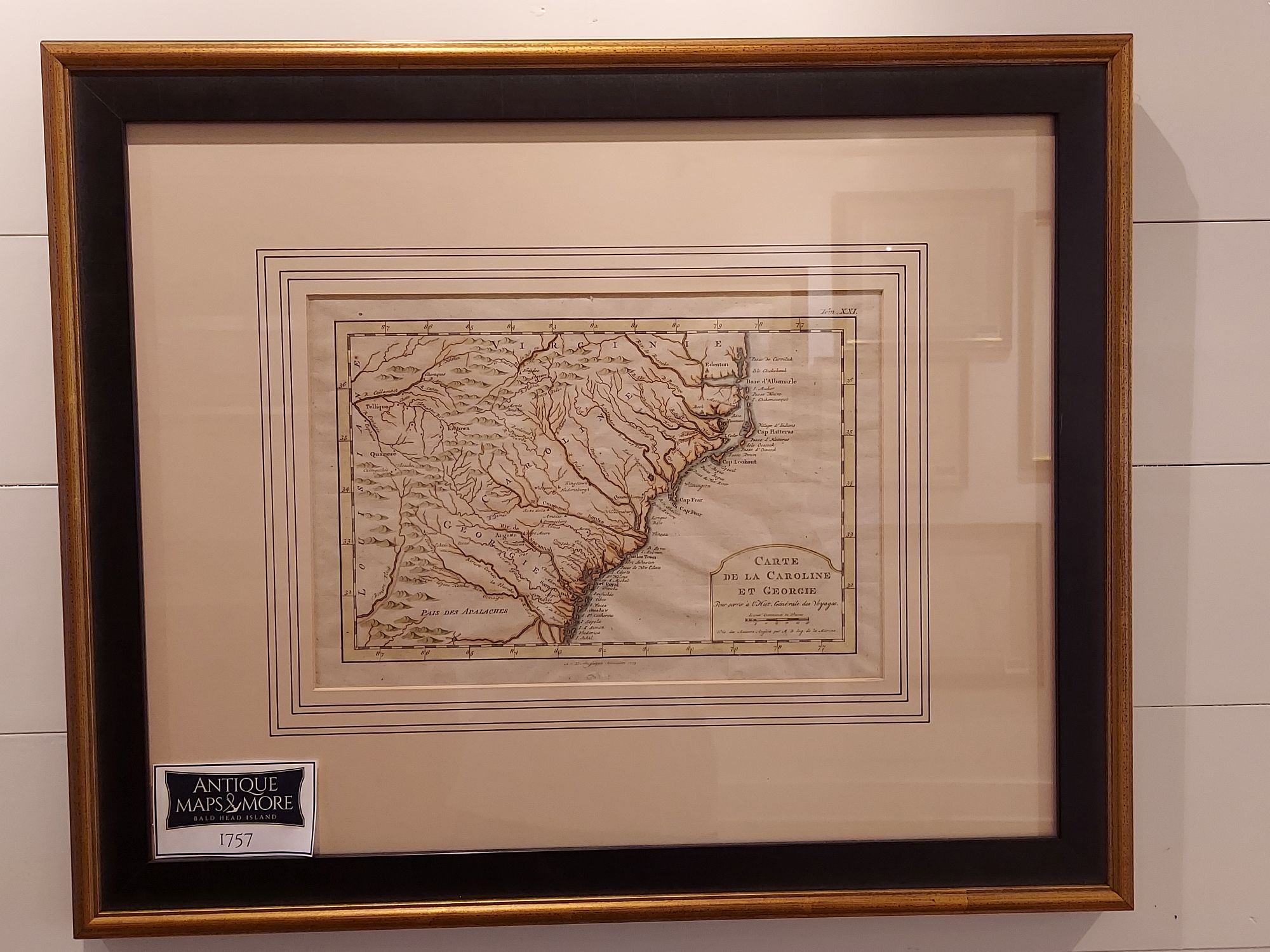
From Histoire Generale Des Voiages, this map attempts to show the course of the Tennessee River in western North Carolina as well as coastal rivers east of the Blue Ridge extending into Tennessee and Kentucky.
Cartographer: Jacques Nicholas Bellin
Dimensions: 23″w x 19″h
Country of Origin: France
For more information please email maps@antiquemapsandmore.com or call 910.470.0000. Open Mon-Sun, 9AM until 4PM
6D Merchant's Row, Bald Head Island


