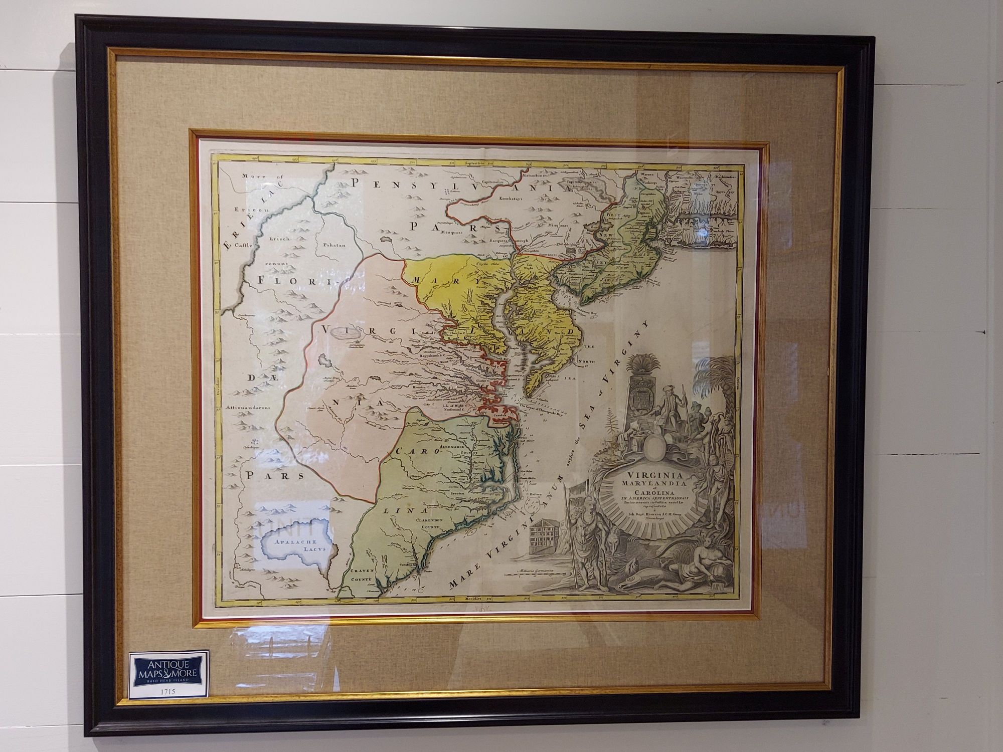
This is considered one of the most important maps of Virginia, Carolina, Maryland and New Jersey in the 18th century. It was drawn to advocate the then Lieutenant-Governor’s (Alexander Spotswood’s) plan to settle the little-known interior of Virginia with German immigrants.
Cartographer: Johann Baptist Homann
Dimensions: 33.5″w x 29.5″h
Country of Origin: France
For more information please email maps@antiquemapsandmore.com or call 910.470.0000. Open Mon-Sun, 9AM until 4PM
6D Merchant's Row, Bald Head Island


