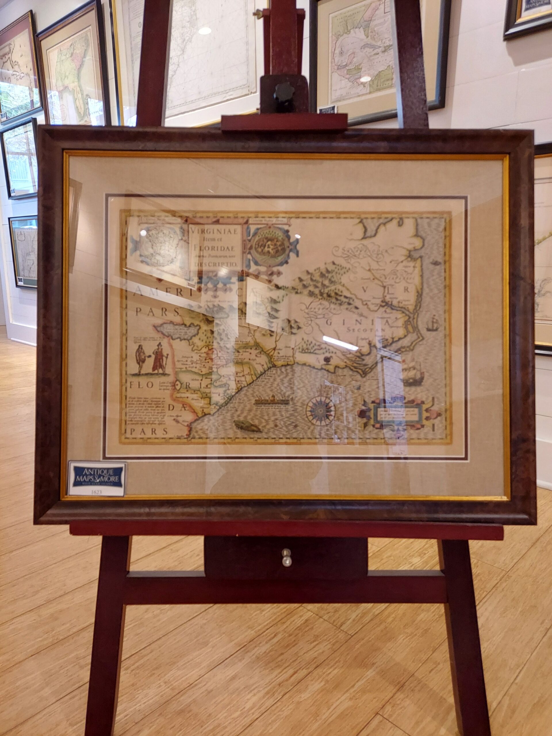
This 1623 copper-engraved chart, first published in 1606, is based upon maps created by White (1590) and Le Moyne (1591). However, Jodocus Hondius, Jr. ‘s map reflects differences from those original maps-making it more like the works of Mercator (1569), Ortelius (1584), and Wytfliet (1597)- in that it put the great lake and the direction of the flow of the River May to the northwest of its mouth and changed the accompanying topographical features and Indian settlements. This created geographical misconceptions of the region, which lasted for nearly a century and a half. The rendering featured Latin and includes an extensive provenance in Latin on its backside. Hondius, Jr. was the son of the preeminent engraver Jocodus Hondius the Elder.
Cartographer: Jodocus Hondius, Jr.
Country of Origin: Holland
Dimensions: 28″w x 22″h
For more information please email maps@antiquemapsandmore.com or call 910.470.0000. Open Mon-Sun, 9AM until 4PM
6D Merchant's Row, Bald Head Island


