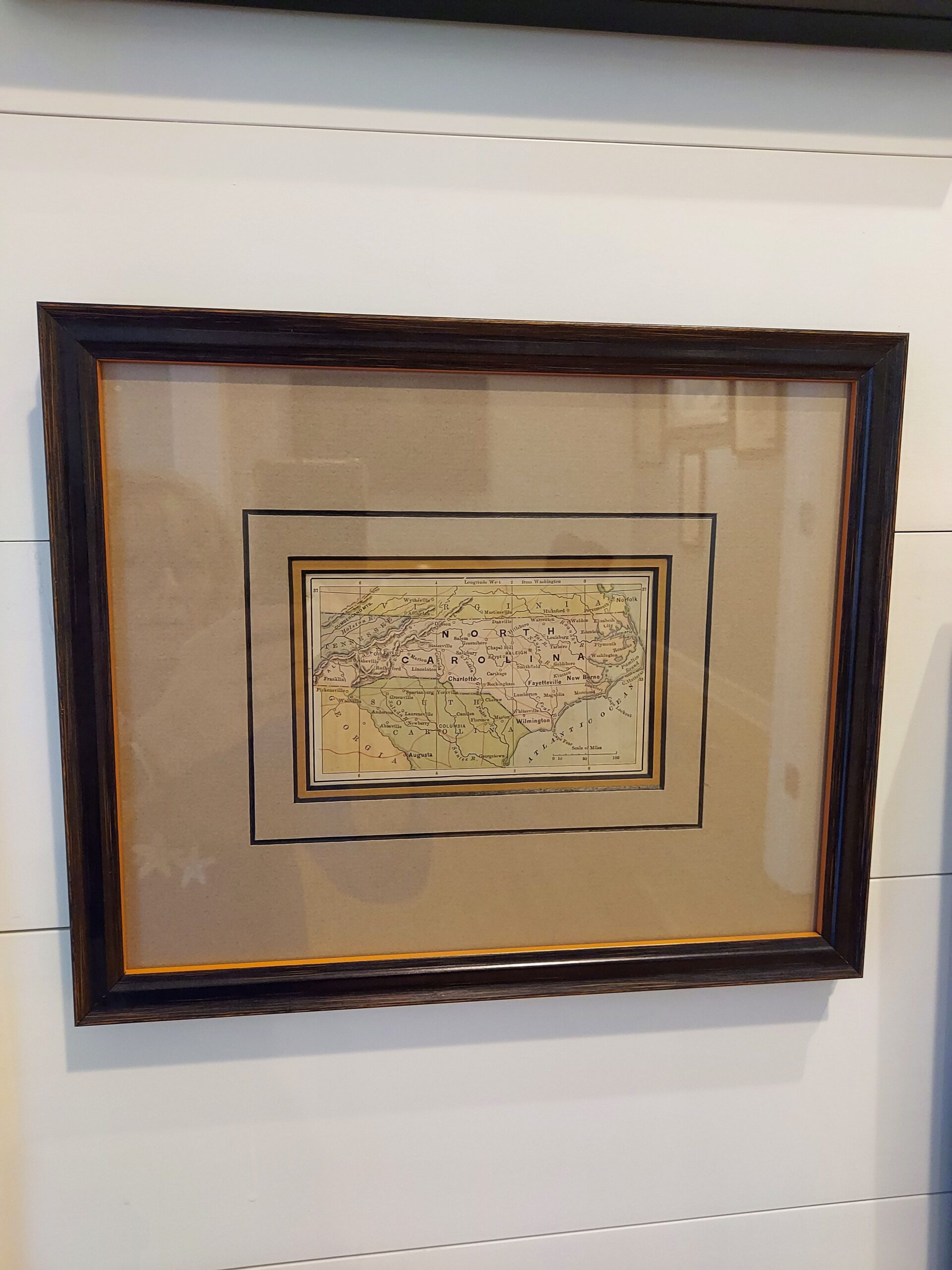
As American publishing flourished in the late 19th century, numerous small pocket atlases were published with the intention of serving as a handy personal reference. This map comes from such a set and is a perfect example of the genre. With astounding detail that includes major towns and cities, as well as their connecting rail lines, these maps were amazingly useful and attractive. This chart is in very good condition, exhibiting strong color.
Dimensions: 12″W x 9.5″H
Country of Origin: United States
For more information please email maps@antiquemapsandmore.com or call 910.470.0000. Open Mon-Sun, 9AM until 4PM
6D Merchant's Row, Bald Head Island


