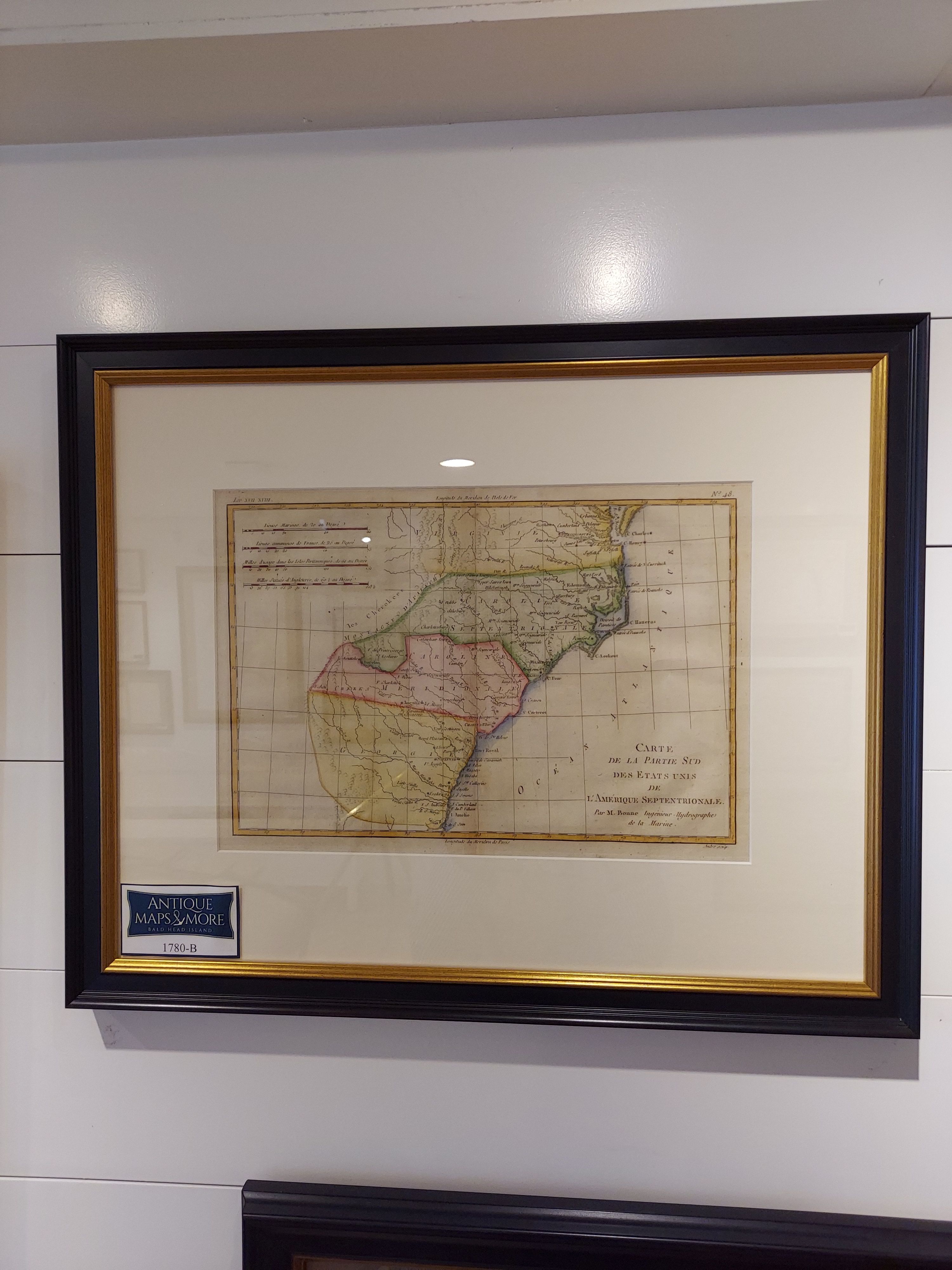
This beautiful map, published shortly after the Revolutionary War, features Georgia, North Carolina, South Carolina and Virginia. From Thomas Francois Raynal’s “Atlas de Toutes les Parties Connues du Globe Terreste, Dresse pour l’Histoire Philosophique et Politique des Establissemens et du Commerce des Europeans dans les Deux Indes”, it features the eastern coast and extends inland as far as the “Appellation Mountains”. Rigobert Bonne was the cartographer of this chart.
Dimensions: 21″w x 17″h
Cartographer: Rigobert Bonne
Country of origin: France
For more information please email maps@antiquemapsandmore.com or call 910.470.0000. Open Mon-Sun, 9AM until 4PM
6D Merchant's Row, Bald Head Island


