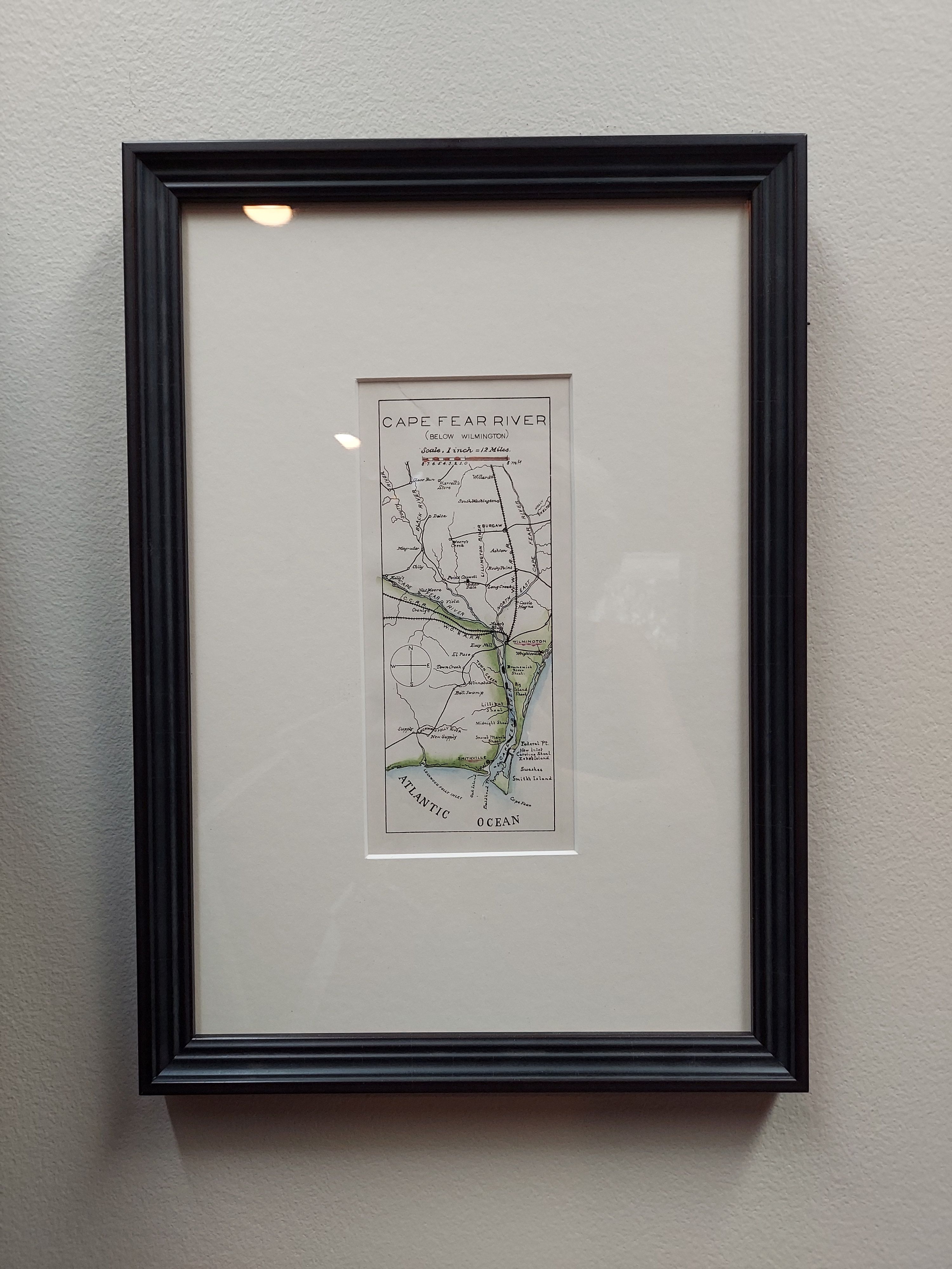
This professionally hand-colored map shares Cape Fear River Improvement below Wilmington, NC from 1884-1885. Its scale is 12 miles to one inch. Its details included documentation of railroads, roads, towns, swamps, shoals, points and islands.
Country of Origin: United States
Dimensions: 10″w x 14″h
For more information please email maps@antiquemapsandmore.com or call 910.470.0000. Open Mon-Sun, 9AM until 4PM
6D Merchant's Row, Bald Head Island
