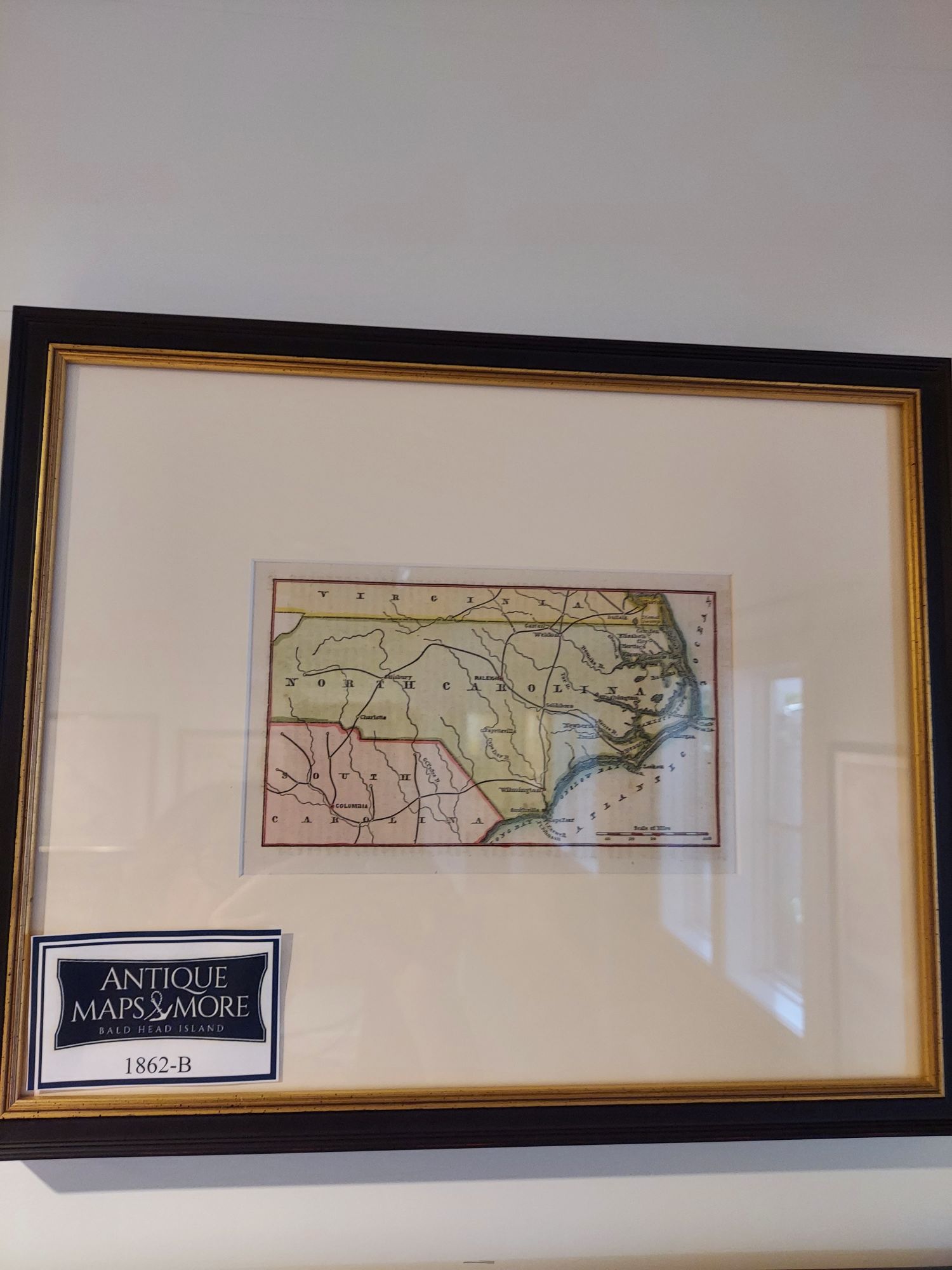
This scarce original Civil War map highlights North Carolina but also discloses information about southern Virginia and northeastern South Carolina. Forts are identified as well as the important cities of that era. This piece has been professionally hand-colored.
Dimensions: 14″w x 12″ h
Country of Origin:United States
For more information please email maps@antiquemapsandmore.com or call 910.470.0000. Open Mon-Sun, 9AM until 4PM
6D Merchant's Row, Bald Head Island
