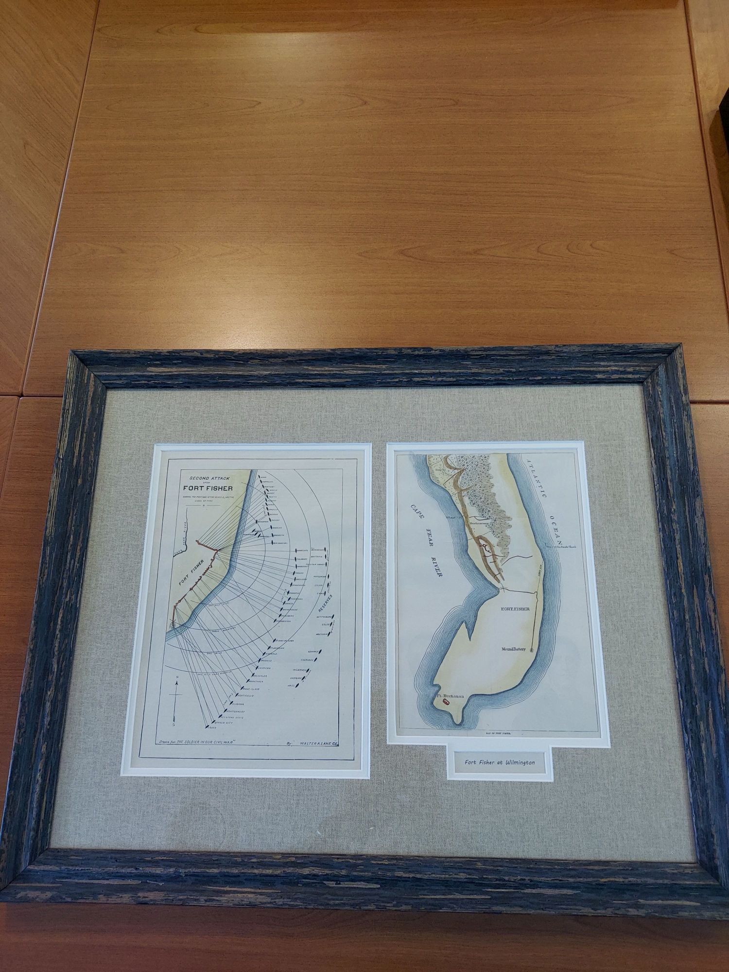
These are re-issues off sketches originally drawn by Walter A. Lane, C.E. for The Soldier in Our Civil War, A Pictorial History of the Conflict, 1861-1865, Illustrating the Valor of the Soldier as Displayed on the Battlefield. The first map shows the positions of vessels (including the ships’ names) and their lines of fire during the second attack on Fort Fisher. The second chart shows Fort Fisher’s original Mound Battery, the fort, the hospital and the headquarters.
Dimensions: 25″w x 19.5″h
Country of Origin: United States
For more information please email maps@antiquemapsandmore.com or call 910.470.0000. Open Mon-Sun, 9AM until 4PM
6D Merchant's Row, Bald Head Island
