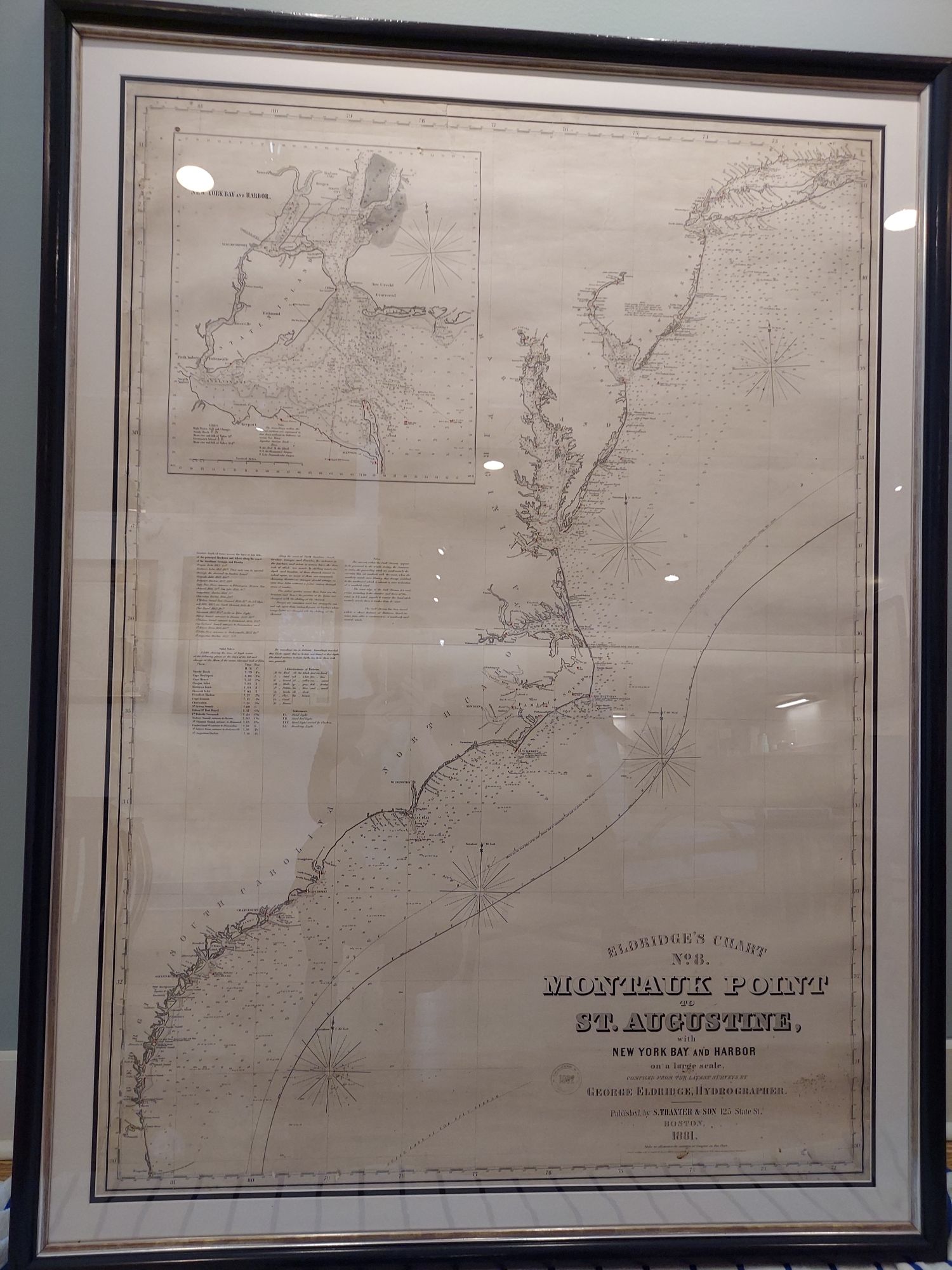
This chart provides an overview of the eastern seaboard, with depth soundings and coastal navigational lights marked. An inset in the upper left corner details New York Bay and Harbor. This is a great example of a blueback chart; known as such because private publishers used it as backing for large format nautical maps to reinforce lower quality map paper. This backing proved an efficient way for private publishers to cut costs because the blue manila paper was commonly and inexpensively available.
Cartographer: George W. Eldridge
Dimensions:42″w x 57″h
Country of Origin: United States
For more information please email maps@antiquemapsandmore.com or call 910.470.0000. Open Mon-Sun, 9AM until 4PM
6D Merchant's Row, Bald Head Island
