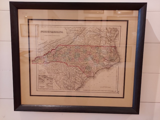
This is one of a few mid-19th century maps to spotlight North Carolina independently (although it does show nearby parts of South Carolina and Virginia). It includes an inset of Beaufort Harbor and bears Colton’s trademark spiral border motif.
Cartographer: Joseph Hutchins Colton
Country of Origin: United States
Dimensions: 22″w x 19″h
For more information please email maps@antiquemapsandmore.com or call 910.470.0000. Open Mon-Sun, 9AM until 4PM
6D Merchant's Row, Bald Head Island
