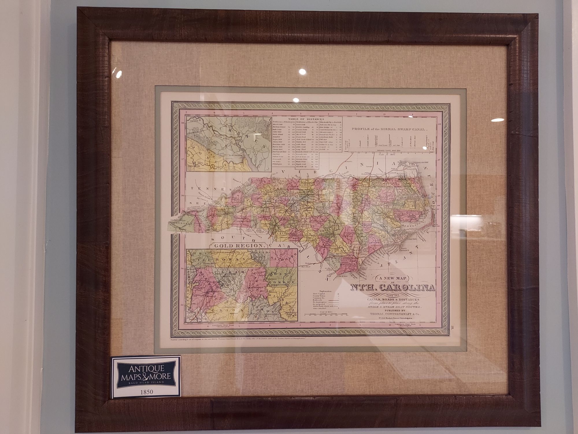
This plate was originally published by Samuel Augustus Mitchell who sold the copyright for it to Thomas, Cowperthwait and Company. It features insets of the Gold region and new Berne and a profile of the Dismal Swamp Canal. In 1856, Charles Desilver purchased this chart and included it in his New Universal Atlas.
Cartographer: Samuel Augustus Mitchell
Dimensions: 23W x 20.5 H
Country of Origin: United States
For more information please email maps@antiquemapsandmore.com or call 910.470.0000. Open Mon-Sun, 9AM until 4PM
6D Merchant's Row, Bald Head Island
