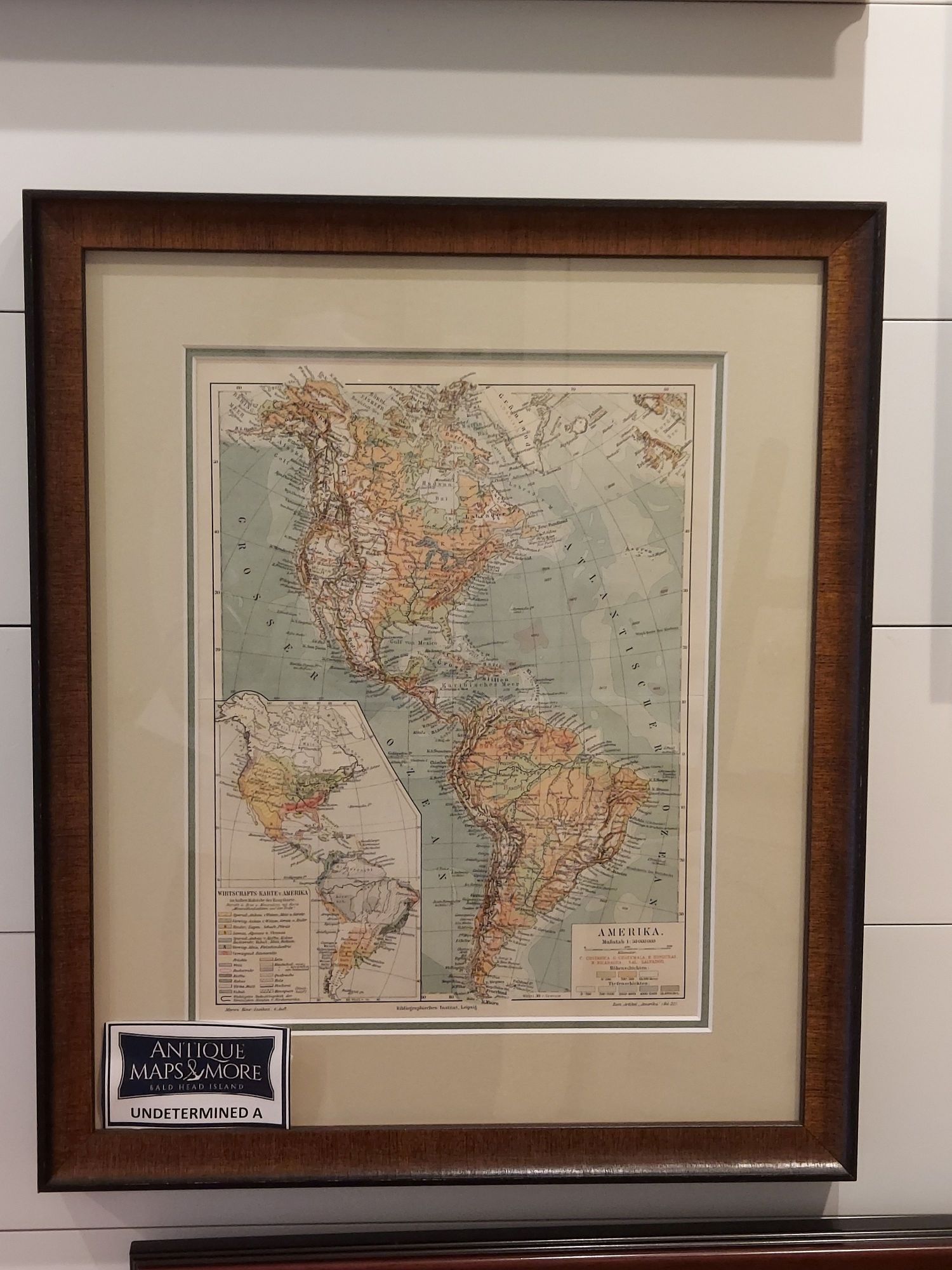
This is believed to be an 1898 chart from a Meyers-Konv. Lexicon (encyclopedia) depicting the Western Hemisphere and detailing topographical features and ocean depths. The inset delineates products-agricultural, animal and mineral from each area.
Dimensions: 14.5″w x 17″h
Country of Origin: Germany
For more information please email maps@antiquemapsandmore.com or call 910.470.0000. Open Mon-Sun, 9AM until 4PM
6D Merchant's Row, Bald Head Island
