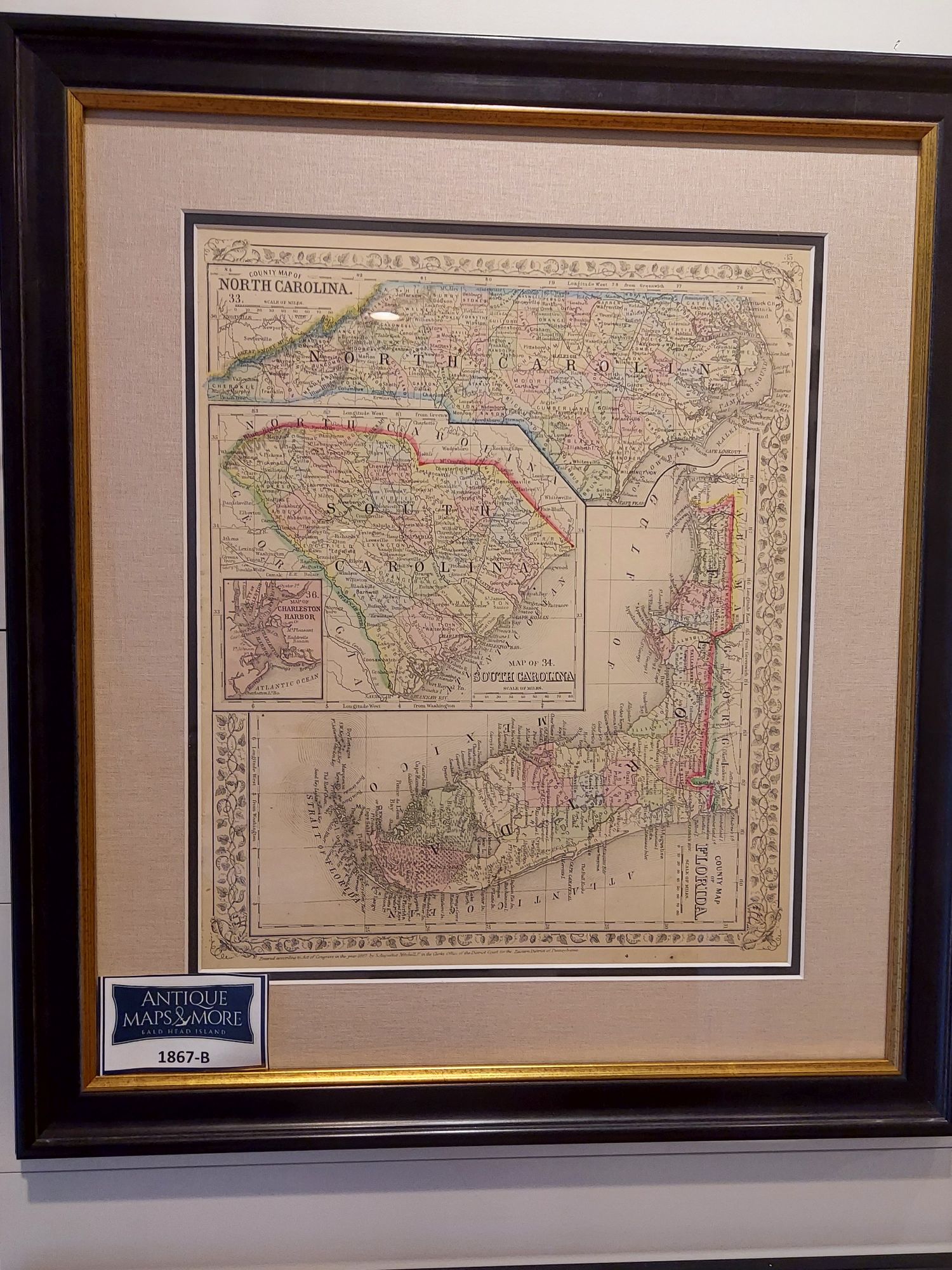
These numbered charts were originally part of Mitchell’s New General Atlas, published by Samuel Augustus Mitchell Jr. who followed in his famous map-making father’s footsteps. Mitchell maps, the first to be engraved on steel plates, are sought after for their fine engraving, bright coloring and attention to detail. This map also boasts Mitchell’s unique floral borders.
Cartographer: Samuel Augustus Mitchell, Jr.
Dimensions: 19″w x 21.5″h
Country of Origin: United States
For more information please email maps@antiquemapsandmore.com or call 910.470.0000. Open Mon-Sun, 9AM until 4PM
6D Merchant's Row, Bald Head Island
