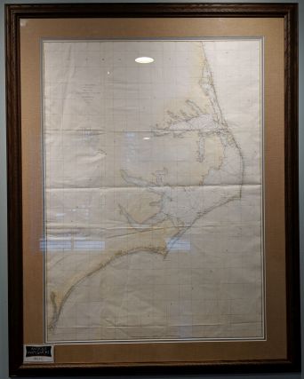
This chart delineates the North Carolina coast from Cape Henry to Cape Fear. It provides detailed navigation from the mainland to the Outer Banks as well as comprehensive information about the state’s shoreline at that time.
Dimensions: 33.5″w x 42″h
Country of Origin: U.S.
Cartographer: A.D. Bache
For more information please email maps@antiquemapsandmore.com or call 910.470.0000. Open Mon-Sun, 9AM until 4PM
6D Merchant's Row, Bald Head Island
